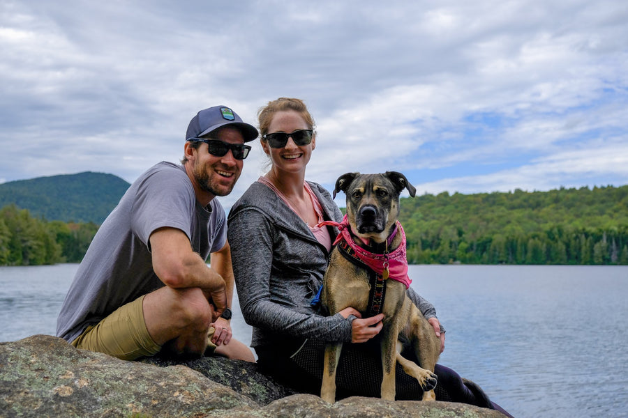


McKenzie Mountain
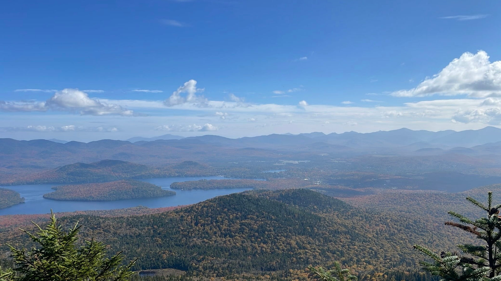
McKenzie Mountain is the highest of the Saranac Lake 6ers, and at 10.5 miles round trip with 2,340 feet of elevation gain, it also has the longest ascent. The long ascent is worth it, however, as the view from the top doesn’t disappoint. From McKenzie’s summit you can see the High Peaks from Whiteface to Marcy running north to south, and the Saranac Lakes and many nearby ponds to the west. It is a perfect hike to start mid-morning and pack a lunch in to eat on the top, allowing you to finish just in time for a midafternoon ice cream cone after the hike.
Trail Stats:
Distance: 10.5 miles round trip
Elevation: 3,822 ft
Ascent: 2,340 ft
McKenzie and Haystack begin from the same trailhead and share the first 2.4 miles of trail. Moderately flat at first, the trail weaves through a forest with some wet areas, opening up into a hardwood forest after a quarter mile. The trail then begins rolling upwards for nearly a mile before descending gently along a ridge for less than half a mile.
At 1.5 miles the trail opens up to an area with a small lookout. The trail will descend another quarter mile before beginning a moderate climb that continues along until the 2.4 mile mark where the trail for Haystack Mountain continues on onward and to the left, while the trail to McKenzie splits off to the right. The split in the trail is well marked, but if you have your head down you may miss it. (If you reach the concrete dam, you will know you have accidentally passed the turnoff to McKenzie!) Turning right onto the trail to McKenzie, you will follow the trail as it rolls moderately upwards until it crosses a brook – you can pause here to check out the crumbling foundation of an old camp.
The trail continues its ascent for another three quarters of a mile, where the trail is often wet as it crosses Little Ray Brook at 3.4 miles. From here you will follow the (sometimes muddy) trail to the junction of the Whiteface Inn trail (another, more gradual route to McKenzie from Lake Placid) at 3.6 miles. After crossing this junction, the trail continues another 1.6 miles to the summit at 5.2 miles.
Trailhead:
Google Directions // Coming from Saranac Lake, you will follow route 86 through Ray Brook, coming to a parking area on your left shortly after passing a golf course on your right. Coming from Lake Placid, you will follow route 86 towards Ray Brook, reaching the parking area on your right, 1.4 miles from the intersection between route 86 and Old Military Rd.