


Filter
Vintage Adirondack Maps
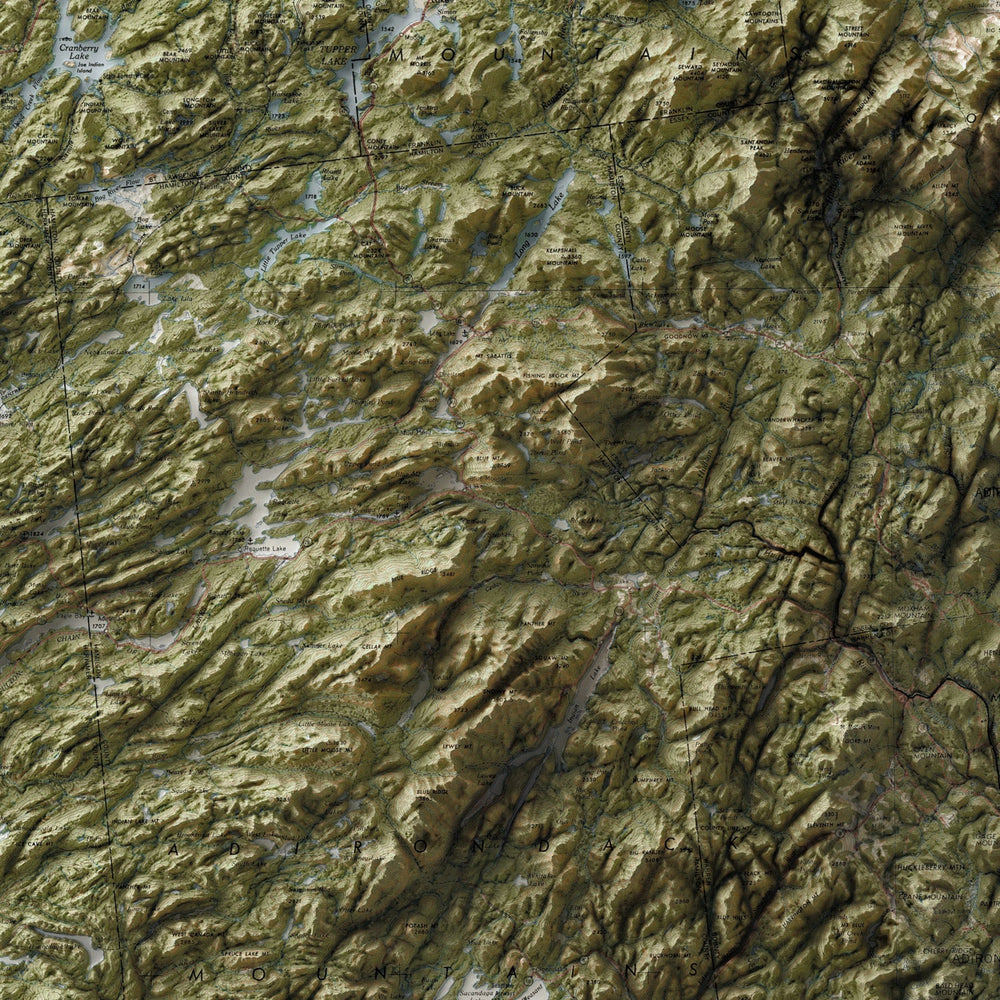
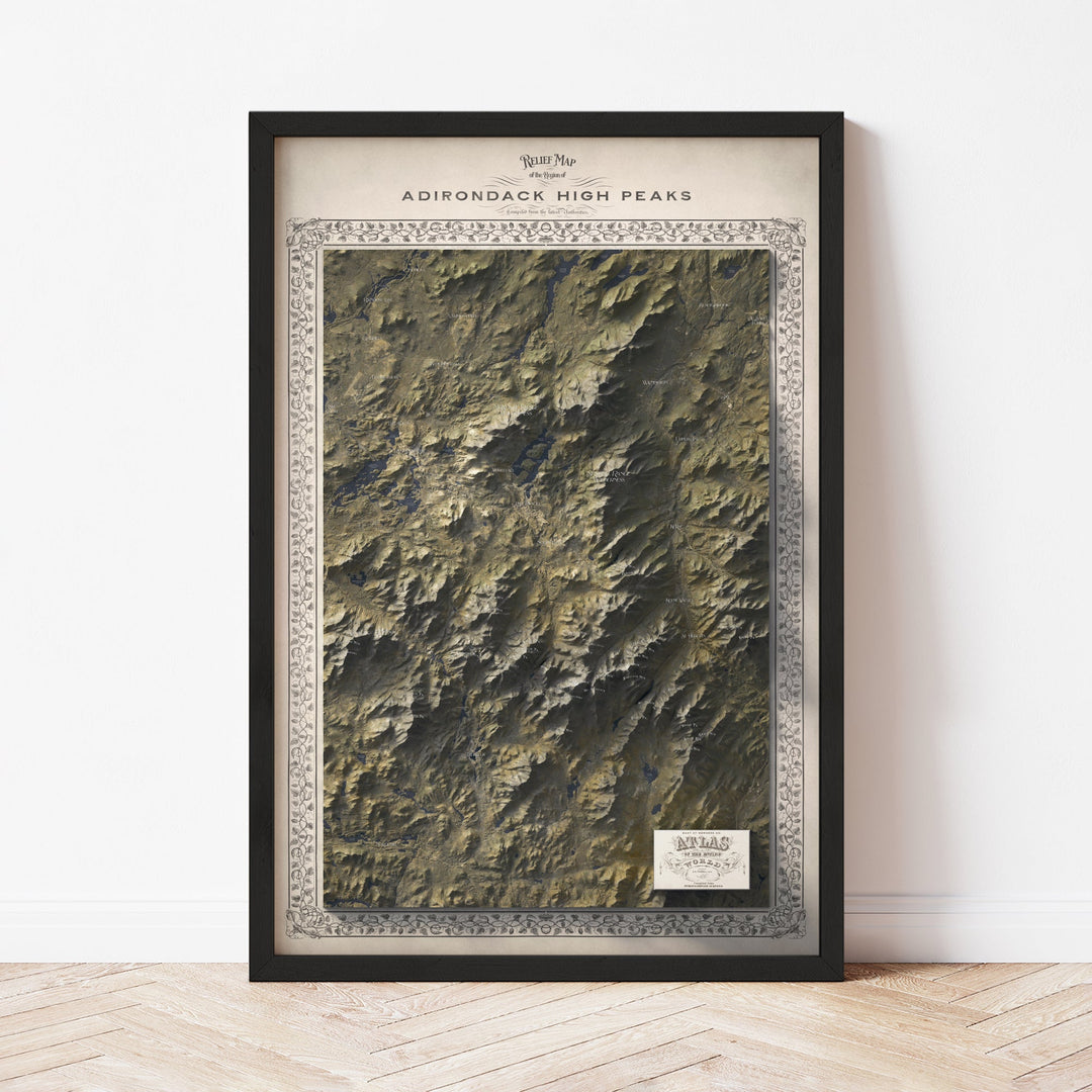
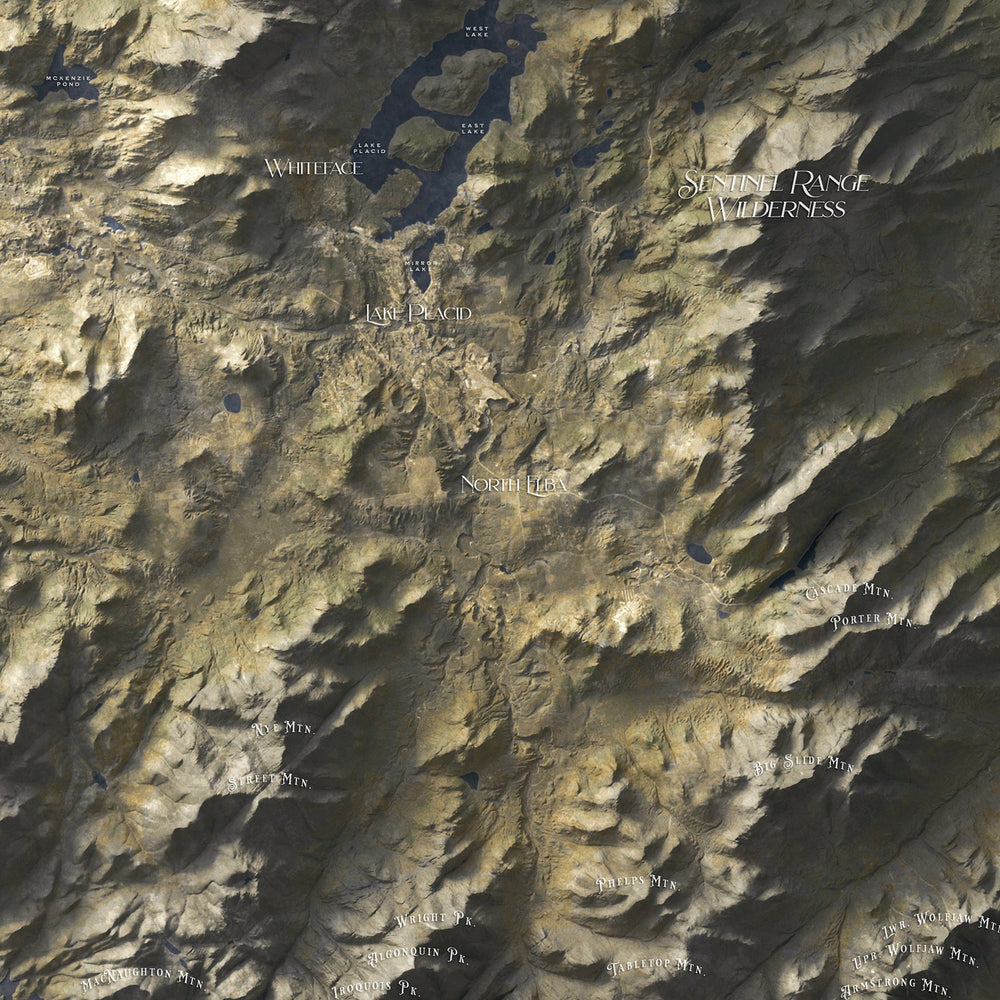
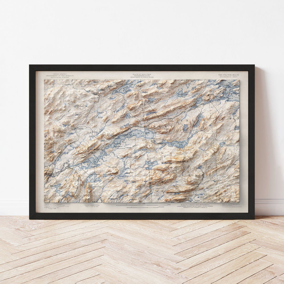
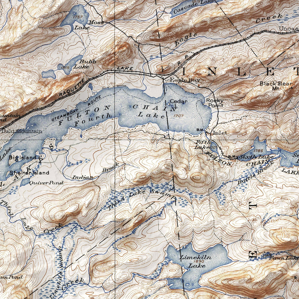
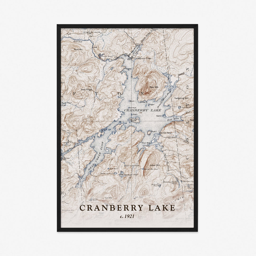
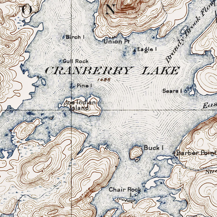
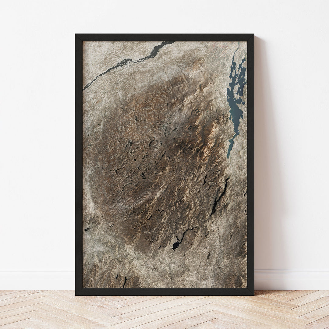
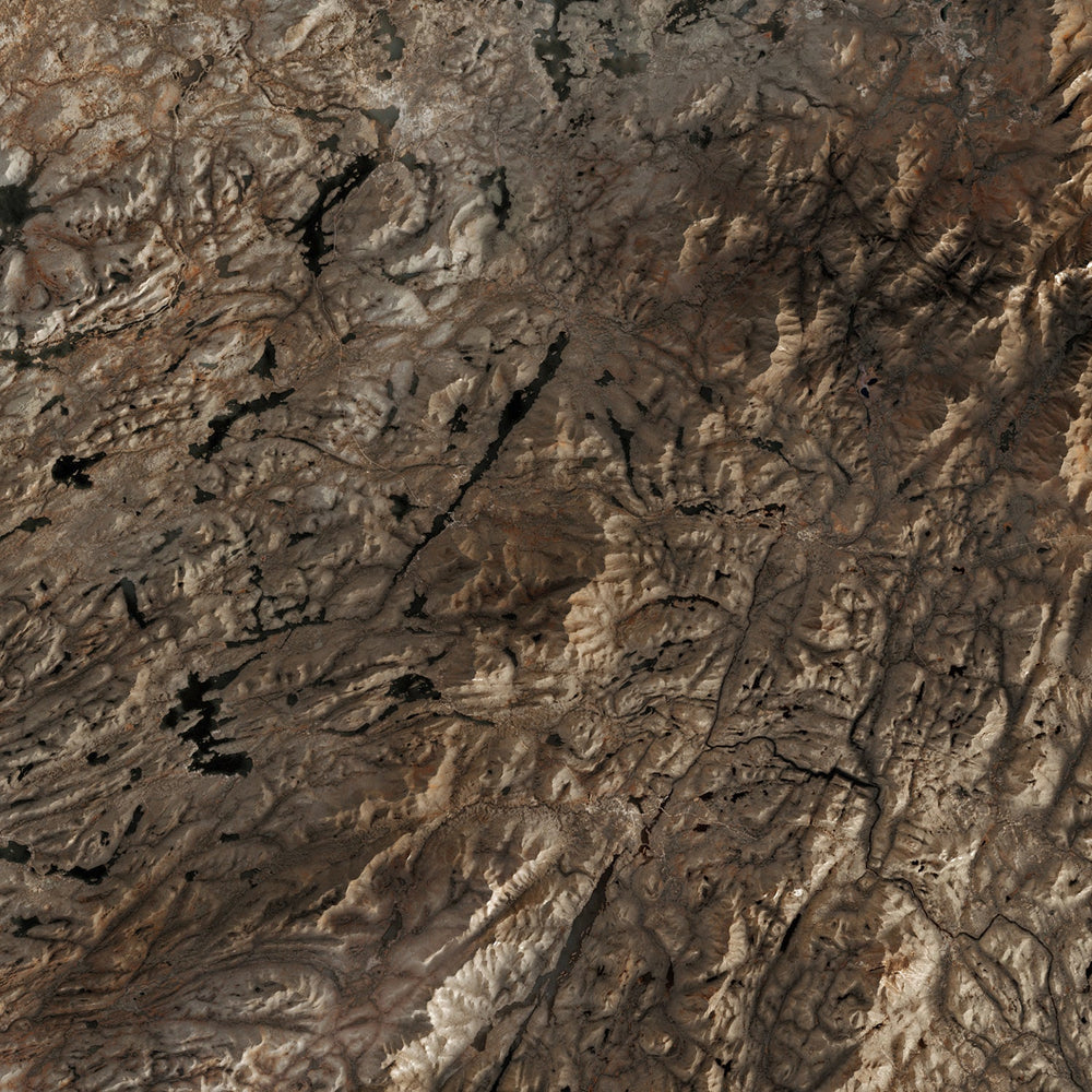
The Adirondacks have been mapped for more than a century — by surveyors, foresters, and cartographers tracing the contours of the largest wilderness east of the Mississippi. This collection features vintage shaded relief and topographic maps from the early 1900s through mid-century, reprinted as framed wall art — including the 1907 Lake Pleasant survey and a 1951 shaded relief of the full Adirondack region.
These prints are produced and shipped by East of Nowhere, an independent map studio based in upstate New York.