
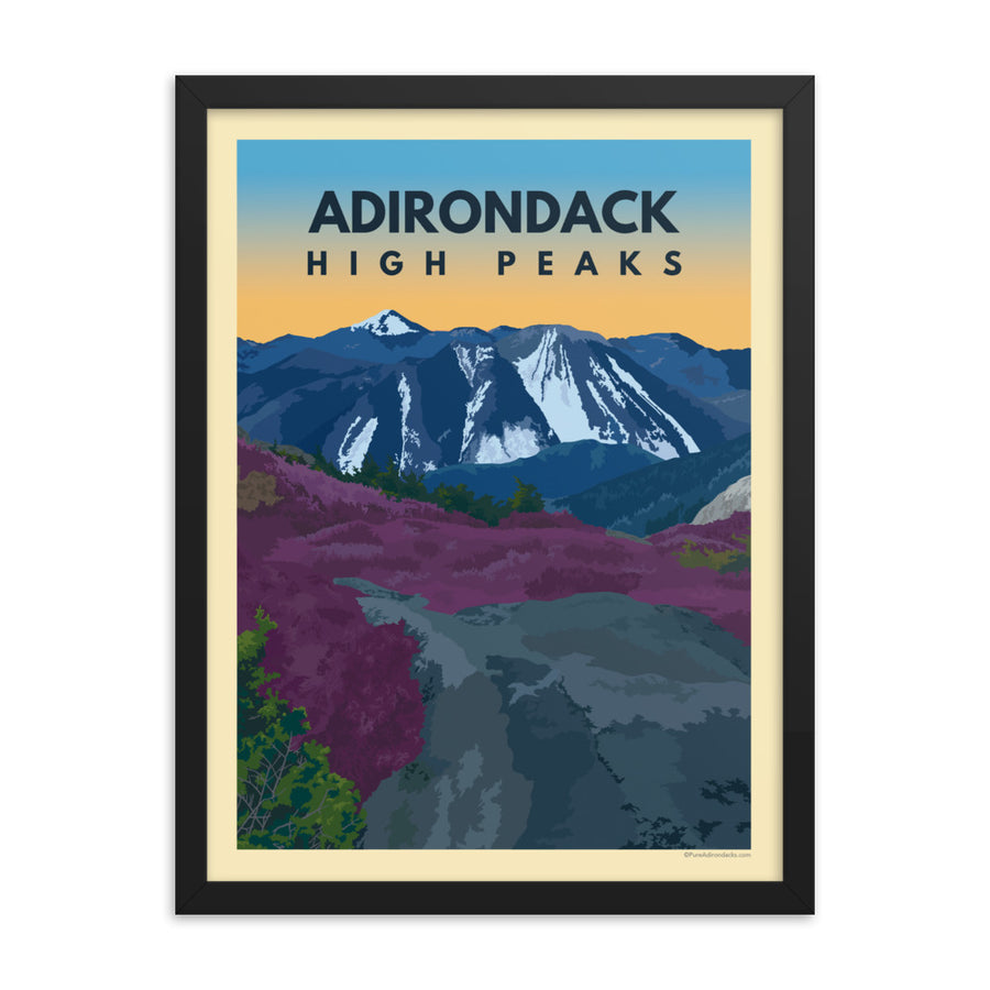


Lyon Mountain Fire Tower Hike — Adirondack Trail Guide

Lyon Mountain
Lyon Mountain is one of the toughest fire tower hikes in the Adirondacks — and one of the most rewarding. At 3,830 feet, it stands as the highest point in Clinton County, with an elevation that actually surpasses one of the official Adirondack 46 High Peaks. Its more northerly location gives you something most other fire tower hikes can't: views that extend well beyond the park, reaching Montreal's skyline to the north, Lake Champlain and the Green Mountains of Vermont to the east, and the High Peaks rolling to the south. Two trails lead to the summit — a steeper, more direct original route and a longer, more gradual option cut in later years. In winter, Lyon has even earned a quiet reputation among backcountry skiers drawn to its glades and steep terrain.
From the trailhead on Lowenburg Road, the path begins as a single trail before splitting shortly after the start. An arrow marks the turnoff to the left for the newer, longer route. The new trail winds gradually up the mountain through mixed forest, taking a more meandering line that's easier on the legs but adds close to a mile in each direction. The original trail heads more directly uphill — steeper throughout, with stretches of rocky, washed-out terrain that demand careful footing. Near the summit, the two trails rejoin for a short, steep final ascent to the open top, where the 1917 Aermotor LS-40 steel tower stands waiting. Climb it for sweeping views in every direction — on a clear day, you can make out Montreal's skyline to the north.
Hiking Lyon Mountain fire tower — filmed & edited by Pure Adirondacks.
Lyon Mountain's fire observation station dates to April 1910, when observers were first stationed on the naturally bare summit to scan for smoke — no tower needed. The current 35-foot Aermotor LS-40 steel tower was erected in 1917 by the New York State Conservation Commission and served continuously until the end of the 1988 fire season, when the state shifted to aerial detection. The mountain is named for Nathaniel Lyon, a Vermont settler who arrived in the area in 1803. At 3,830 feet, Lyon Mountain isn't just Clinton County's high point — its elevation exceeds that of Couchsachraga Peak, one of the official Adirondack 46 High Peaks.
Adirondack Fire Tower Challenge
Document 23 dated ascents across two parks and earn your official patch.
Nearby: New Land Trust
The New Land Trust sits at the foot of Lyon Mountain in the Town of Saranac — 287 acres of preserved land open to the public for hiking, cross-country skiing, snowshoeing, and birdwatching. What began in the late 1970s as a back-to-the-land commune evolved into a community land trust dedicated to keeping this corner of the northern Adirondacks accessible and wild. A worthwhile side trip before or after the climb, especially in winter when the trails make for excellent Nordic skiing.
Explore the New Land Trust →
Apparel and prints inspired by the Adirondack fire towers and the hikers who climb them. Made for the trail, designed for the park.
Shop the Collection →
A guide to all 85 unforgettable fire tower hikes across New York state. Expert insight, practical detail, and enough history to make every summit more interesting.
View on Amazon →From Dannemora, take Route 374 west and follow it around Chazy Lake. Take a left onto Route 29 / Chazy Lake Road and follow it for 1.7 miles. Turn right onto Lowenburg Road — an unsigned gravel road marked only by a white "Seasonal Road" sign. Follow Lowenburg Road to the trailhead parking area. If using Google Maps, search for "Lyon Mountain Firetower Trailhead Parking."