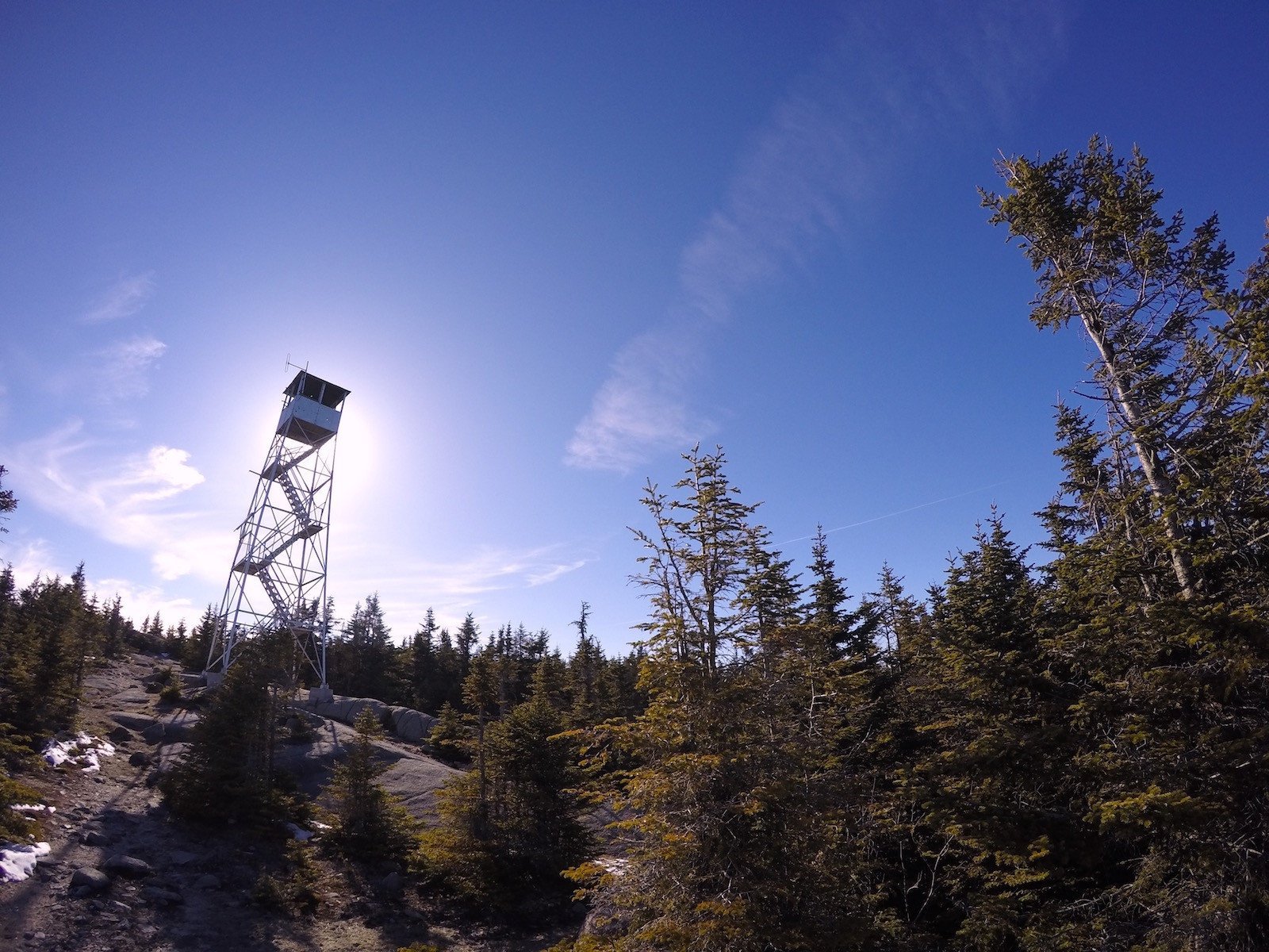
Lyon Mountain

Lyon Mountain is one of the toughest fire tower hikes, with an elevation higher than one of the official 46ers, it marks the highest point in Clinton County. Given its more northerly location than the other fire tower hikes, the tower provides you with unique views of Montreal’s skyline to the north and Lake Champlain and the Green Mountains to the east.
Trail Stats:
| Distance | 6.4 miles round trip |
| Elevation | 3,830 feet |
| Ascent | 1,900 feet |
*5.0 miles round-trip if you take the old trail

There are two trails up Lyon Mountain. There’s the original trail, which is steeper and more direct that totals 5 miles round-trip, and there is also the new trail that was cut as a longer (6.4 miles round-trip), more meandering option. As you hike along the only trail leaving the trailhead, the turnoff for the new trail is clearly marked with an arrow to the left shortly after beginning the hike.

The new trail is smoother and much easier – winding its way slowly up the mountain, it will take approximately an hour longer than the old trail (depending on your hiking pace). While the older trail is more direct (and steeper), it also has stretches of trail that are somewhat washed out with boulders and rocks to scramble over – making it slightly more challenging for this reason as well. Towards the summit, the new trail meets back up with the old trail, which continues along for a short and steep final ascent to the top.
TrailheadFrom Dannemora, take 374 west and follow it around Chazy Lake for a bit and then take a left onto 29/Chazy Lake Rd. Follow this road for 1.7 miles, where you’ll then take a right on Lowenburg Rd, a gravel road with no road sign – it is only marked by a white sign reading, “Seasonal Road”. If using Google Maps, you will want to follow directions to “Lyon Mountain Firetower Trailhead Parking”.


