

Champlain Area Trails (CATS)
Cover Image by Brendan Wiltse Photography.
Much of the literature and attention on hiking in the Adirondacks focuses on the 46 High Peaks and surrounding day hikes near Lake Placid and Keene Valley, but there are many trails in the farther reaches of the Adirondacks that are well worth the visit and which provide an escape from the crowds and a venture into something new. As a business and local resource that cares deeply about supporting the integrity and longevity of the Adirondacks, we believe it is important to highlight many of the Park’s gems in addition to the trails that receive heavier traffic.
 Champlain Area Trails (CATS) is a non-profit, accredited land trust whose mission is to make trails, save land, connect people with nature, and promote economic vitality in New York’s Champlain Valley. The organization manages, maintains and publicizes a great network of welcoming trails that holds much magic of its own – rolling, accessible, and generally quiet trails in the most biodiverse region of the Adirondack Park. If you’re not dead-set on peak bagging, or need a little break from it, the CATS trails provide a wonderful alternative to the quintessential High Peaks.

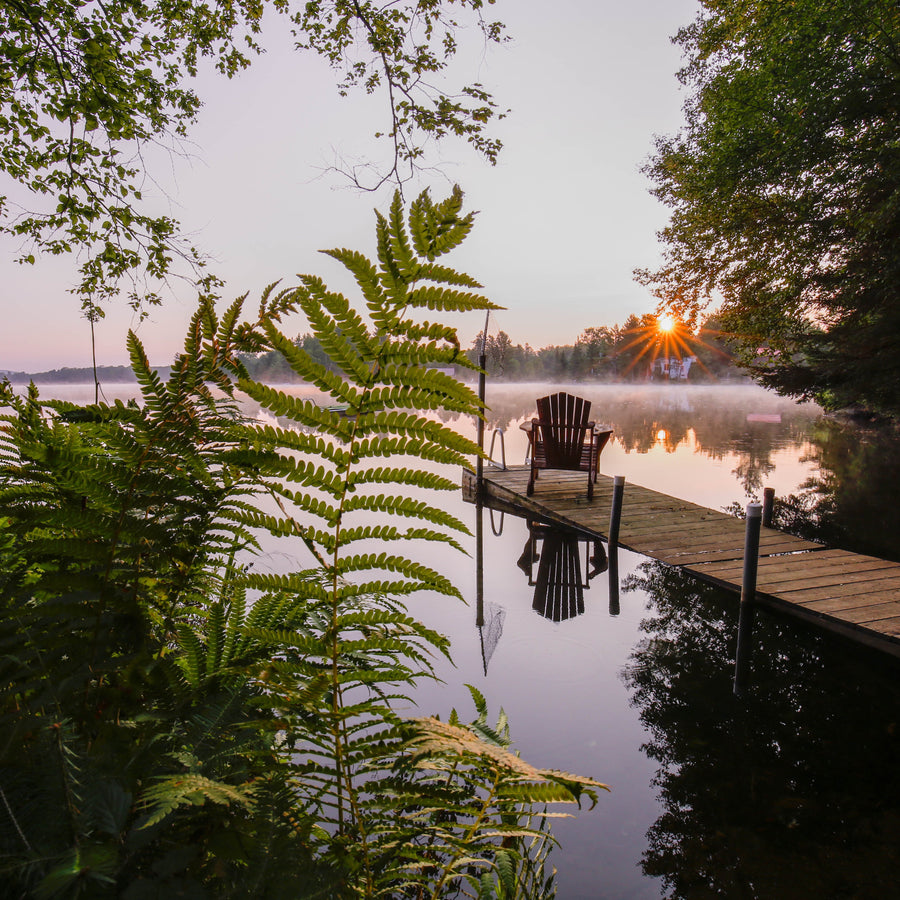
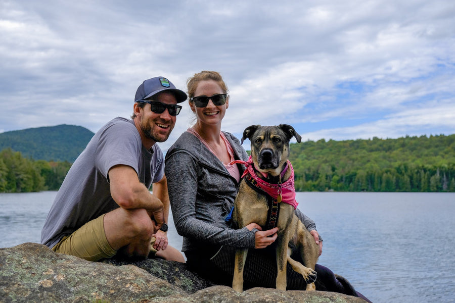
Family at Wildway Overlook Trail by Jen Zahorchak
CATS trails provide different vistas than other areas of the Adirondacks, namely in that many of the trails feature views of Lake Champlain to the east and of the High Peaks to the west. You would rarely see that in the rest of the Adirondacks. As is shared on their website, one long-term goal of CATS is for the trails to one day connect in Quebec and Vermont, creating a network of trails around Lake Champlain and branch outward from the lake. Another unique aspect of the CATS trails is their emphasis on community – the trails are seen as one way to connect neighboring communities and bring people together both through recreating on the trails, through volunteering doing trailwork, patronizing local shops and business and supporting CATS’ mission as well.

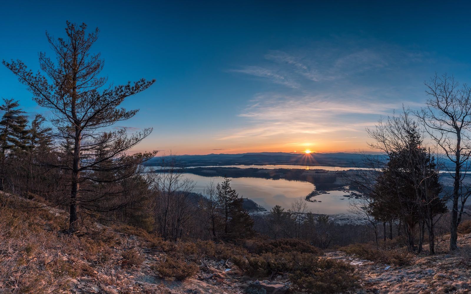
Coot Hill Sunrise by Brendan Wiltse
There are many trails in the CATS network, and they exist across a sweeping section of the Easternmost Adirondacks, a.k.a. the “Adirondack Coast.”. It might be helpful to think of the trails as separate trail systems that are a subset of a larger trail network, since they are not localized and there is no central trailhead. You may want to drive, or ride bikes, from one cluster of trails to another and for that reason, as well as for more detailed descriptions of the individual trails, we recommend checking out CATS’ website for the most comprehensive information of the trail system. CATS also produces and Northern and Central Champlain Valley Trail map and they encourage people to contact them to obtain copies (info@champlainareatrails.com). CATS currently has 57 different trails (including short connector trails) that traverse nearly 60 miles total. The trails are great for hiking, snowshoeing and cross country skiing. And they’ve become quite popular for bird watching and wildlife viewing as well.
Central Champlain Valley Trail Map
Northern Champlain Valley Trail Map
List of Trails:
Ancient Oak Trail
Art Farm Trail
Bald Peak Trail (external link)
Bartlett Pond – McConley Rd Trail
Beaver Bend Trail
Beaver Flow Trail
Black Kettle Trail
Blueberry Hill Trails (external link)
Bobcat Trail
Boquet Mountain Trail
Boquet River Nature Preserve Trail
Brookfield Headwaters Trail
Challis Pond Trail
Champlain Bridge Trail
Cheney Mt Trail
Coon Mountain Trails (external link)
Coot Hill Trail/Big Hollow Trail
Crown Point State Historic Site
Crowfoot Pond Trail
DaCy Meadow Farm Trail Trail (external link)
Field & Forest Trail
Florence Hathaway Park Nature Trail
Flying Squirrel Trail
Footbridge Park Trail
Foothill Trail
Hammond & Bloody Pond Trail
Hemlock Hill Trail
Hidden Quarry Trail
High Point Trail
Homestead Trail
LaChute River Walk
Lee Park Trail
Long Valley Trail
McAuliffe Road Trail
McConley Spring Trail
Moose Mt Pond Trail
Mountain Spring Rd Trail
Mount Gilligan Trail
Noblewood Park Trail
Old Ironville Rd Trail
Over the Mountain to Lake Champlain Trail
Pauline Murdoch Wildlife Trail
Penfield Pond Trail
Poke-O-Moonshine Observers’ Trail
Rattlesnake Mt Trail
Riverside Trail
Rocky Ledges Trail
Round Pond Trail
Sophie’s Lair Trail
Split Rock Wild Forest Trails
Thrall Dam Park Trail
Three Creeks Trail
Viall’s Crossing Trail
Webb Royce Swamp Overlook Trail
Wadhams Lookout Trail
Wildway Overlook Trail
Wildway Passage Loop Trail
Woods & Swale Trail