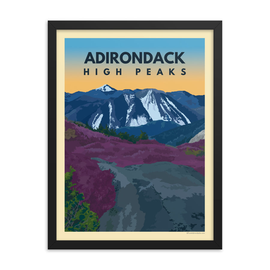
#18 Panther Peak

#18 Panther Peak - Pure Adirondacks

One of the trailless peaks in the Santanoni Range, Panther is usually hiked in conjunction with Santanoni and often with Couchsachraga as well. The trail is most easily and frequently accessed from Bradley Pond via the old Tahawus Club Road, and be prepared with a map and GPS if you have one – the Santanonis are out there!

Trail Stats:

Distance: 12.5 miles (if only hiking Panther)

Elevation: 4,442 ft

Ascent: 3,762 ft

The initial approach to Panther, Santanoni, and Couchsachraga all begin the same – with a 1.8 mile walk along a gravel road. Then it will turn somewhat abruptly (so keep your eyes peeled!) to the right onto the trail. The trail will take you another 1.6 miles where you will see a view of some cascades on the left – go another 200 yards and you will see a cairn marking the turn-off to the herd path for Santanoni. Continue on another .9 miles, where you will find the cairn marking the herd path up Panther. The path will continue mostly flat past Bradley Pond and then climb steeply up past the pond before tapering to a less steep incline. The trail will then drop briefly to Panther Brook and follow the brook to the top of the mountain ridge. You will reach a junction of paths where the trail to Panther goes to the right and the trail to the left will take you to Santanoni and Couchsachraga. Follow the trail to the right 0.4 miles to Panther’s summit. The summit is mostly treed, though there is a west-facing view that is worthwhile in clear weather.

Trailhead:

Starting in Newcomb at the intersection of Interstate 28N and Newcomb Lake Road, follow 28N southeast for 5.2 miles. Turn left on Blue Ridge Road and follow it for .3 miles. Take a slight right to stay on Blue Ridge Road and follow it for another .9 miles. Here, turn left onto Tahawus Road and follow it for 6.3 miles. Then turn left onto Upper Works Road and follow it for 2 miles. Finally, turn left onto Santanoni Road, where you will find the trailhead fifty feet ahead.


High Peaks Map

Plan & prepare for your ADK adventure! ADK Mountain Club's topographic trail map, High Peaks: Adirondack Trail Map, revised edition as of Summer 2021. The go-to map for the latest on High Peaks trails, lean-tos, campsites, and public-private land boundaries, many of which have changed in the last year alone.

46 Adirondack High Peaks

Roster of Peaks

Keep it PURE

Remember to Leave No Trace! Buy a physical map, read it, plan, and prepare. Think about the NYS Rangers and medical personnel that exhaust themselves for a rescue that could have been avoided. Pack out your trash. Use a bear canister when primitive camping and cook away from where you’re sleeping. Do the rock walk to help reduce the impact on fragile alpine vegetation. Camp at designated campsites and never camp on or near summits.

Trail Conditions

Know before you go

The 46 of 46 Podcast

An outdoors documentary podcast of a local hiker's journey hiking all 46 High Peaks of the Adirondack Mountains to become an Adirondack 46er. Available on Apple Podcasts, Spotify, Stitcher, and more.

Take The Pledge!

#LoveYourADK

Each year, millions of people visit the public lands inside the Adirondacks. However you choose to spend your time here, we know the Adirondacks will hold a special place in your heart. We feel the same way. To Love Your Adirondacks is to protect the lands, waters, and communities we all know and love.

Sponsored By

ADK 46er Journey: Brecka Coonradt

We welcome Brecka Coonradt, who shares her experience hiking the 46 Adirondack High Peaks to become an ADK 46er. Enjoy following along below as she shares her stories and lessons learned throughout her journey.

Read More

ADK 46er Winter Journey: Jay Whitbourne

I have seen some of the most amazing cloud inversions during the winter and had some of the most surreal moments when the snow conditions are just right, the sky is clear, the wind is calm and the air isn't nipping at your skin.

Read More

ADK Winter 46er Journey: Sam Perkins

I have learned so much over the years, and I continue to learn each time I go for a hike. I could go on and on about gear, trails, mountains, clothing, etc. A lot of it has been trial and error. I have spent a lot of time reading, looking at maps, learning more about weather, researching different gear… the list goes on.

Read More