

Wright Peak

Wright Peak is one of the shorter Adirondack 46ers and a stellar pick for families with older kids — the trail is well-marked and the rewards are immediate. At 4,580 feet with only 2,400 feet of elevation gain, it's an approachable 46er that delivers views of the neighboring High Peaks. The route from the Adirondack Loj is straightforward, and Wright's open, alpine summit sits directly on the way to Algonquin, making it a natural pairing for a two-peak day.
Getting There: Adirondack Loj Route
Wright Peak's standard approach starts at the Adirondack Loj at Heart Lake, following the Van Hoevenberg Trail toward Algonquin. The Wright junction is marked along the Algonquin route, making this an easy detour or a natural combo day. Here's how the route breaks down:
0 – 1.0 mi
Loj to the Algonquin Trail Junction
From the Adirondack Loj, follow the blue-blazed Van Hoevenberg Trail. The opening mile rolls gently and gives your legs a warm-up. You'll pass the turnoff to Marcy Dam on your left at 1.0 mile; continue straight onto the yellow-blazed Algonquin Trail heading uphill.
1.0 – 3.1 mi
Climbing Toward Wright Junction
The trail climbs steadily with a few level stretches to catch your breath. You'll pass the Whale's Tail turnoff on your left — stay straight. The grade increases as you push higher, alternating between steep pushes and short respites. By 3.1 miles you'll reach the Wright Peak junction, marked with a sign on the left. This is where you leave the Algonquin Trail and head toward Wright's summit.
3.1 – 3.5 mi
Wright Junction to the Summit
Turn left and continue climbing steeply. At around 3.3 miles the trail breaks above treeline, and from there you'll navigate via cairns across an open, rocky alpine landscape. The exposure increases as you gain the final 200 feet of elevation. The summit plateau is broad and airy with commanding 360-degree views — Algonquin sits close by to the west, and on clear days you can see east toward Marcy and south to the mountains beyond.

Adirondack 46ers
Wright Peak is peak #16 of the 46 High Peaks. Climb all 46 to earn your patch.
Dact Fact
In 1962, a U.S. Air Force B-47 Stratojet crashed into Wright Peak's summit during a training flight in heavy cloud. A plaque near the top marks the site, and small pieces of wreckage can still be spotted among the rocks today — a quiet reminder of how unforgiving these mountains are in poor visibility.
Pair with Algonquin: A Classic Two-Peak Day
Most hikers pair Wright with Algonquin Peak — they're both accessed from the Loj, and Wright's summit sits on the Algonquin approach. Skip Wright on your way up, summit Algonquin, and descend back past the Wright junction to add it on the way down. This gives you two 46ers in roughly 7–8 hours and is one of the most popular two-peak combos from the Loj. If you're aiming for maximum bang, Algonquin + Wright is the move.
Winter Option: The Wright Peak Ski Trail
Wright is one of the classic Adirondack backcountry ski descents. The Wright Peak Ski Trail was cut in 1938 and opened for skiing that December — not a steep fall-line run, but a fun, winding roller coaster through the woods with short pitches and rolling turns. It grew over by the 1960s before being rediscovered and re-cleared in the late 1980s.
From the Loj, follow the Van Hoevenberg toward Marcy Dam, turn right onto the Algonquin Trail, and watch for the ski trail branching left from the hiking trail around 3,000 ft. Skin (or kick wax) to the top, then ski back down. Real winter experience required — see Preparation & Safety below.
🍔 Refuel After the Hike
The Adirondak Loj has one post-hike option right at the trailhead in the warmer months; otherwise Lake Placid, 15 minutes north, is your best bet for a proper meal.
- The Hungry Hiker (at the Loj) — In season (May–October, daily 1–8 PM), ADK runs a food stand right at the Heart Lake Program Center. Hot & cold food, ice cream, coffee, beer, and hard cider with vegetarian, vegan, and gluten-free options. ADK members get 10% off.
- Lake Placid Pub & Brewery — Local ADK beers and hearty post-hike fare right on Mirror Lake.
- Big Slide Brewery & Public House — Craft beer and solid food, popular with the Adirondack hiking crowd. Good for groups.
Directions to the Trailhead
📍 Google Maps // From Lake Placid, take Route 73 toward Keene, turning right onto Adirondack Loj Road and following it to the end. The lot fills early on summer weekends — arrive by 7am for a reliable spot.
Heart Lake Program Center parking fees (2026, subject to change)
- Daily (non-members): $18
- Daily (ADK members): $10
Know Before You Go
- Alpine zone & exposure: Wright's summit sits above treeline and is fully exposed to wind and weather. The final 0.2 miles are windswept and rocky. Check the forecast before heading up, and bring a warm layer and rain gear year-round. On cloudy days visibility drops fast.
- Bear canisters required: The Eastern High Peaks Wilderness (which includes the Loj approach) requires bear canisters for overnight trips from April 1 through November 30. Day hikers don't need them, but overnight trips in the backcountry do.
- Cairn navigation above treeline: Once you break treeline, the route is marked by cairns. In heavy fog or winter conditions, cairn-following can be tricky — be prepared with your navigation tools.
 Preparation & Safety
The 46 aren't day hikes in the ordinary sense — they're long days deep in the Adirondack backcountry, often above treeline with exposed summits and weather that changes fast. Every year, hikers get into serious trouble on these peaks. Most incidents trace back to the same handful of preventable mistakes: starting too late, underpacking, missing the forecast, or pushing through conditions that were telling them to turn around.
Before you go:
- Pack the 10 Essentials. Onward Guides, a local Adirondack guide service, publishes detailed packing lists for day hikes, overnights, and winter trips — worth a read before you head out.
- Check the forecast for the summit, not just the trailhead — temperatures drop 3–5°F per 1,000 ft, and wind on exposed summits can be 30+ mph when it's calm at the Loj.
- Sign the trail register at the trailhead. It's how rangers find people if something goes wrong.
- Tell someone your plan — which peak, which trailhead, and when you expect to be back. This matters even more if you're going alone.
- Start early. Afternoon thunderstorms are real above treeline, and finishing in the dark on unfamiliar trails is how small problems become big ones.
Solo hiking. Hiking with a partner or group is safer — extra eyes on the map, extra hands if something goes wrong. But schedules don't always line up, and plenty of people hike the 46 solo responsibly. If you're going alone: double down on telling someone your plan, carry a satellite messenger or a PLB if you can, stick to well-trafficked trails your first few times out, and know your turnaround criteria before you leave the car.
Winter hiking is a different sport. From November through April, the High Peaks are genuinely serious terrain — sub-zero windchill, waist-deep snow, short daylight, frozen water sources, and routes that disappear under drifts. Crampons, snowshoes, layered insulation, and real winter experience are not optional. If you're new to winter hiking in the Adirondacks, start with a guided trip or a much smaller mountain before attempting a 46er.

Leave No Trace — Protect the Alpine Zone
Wright's summit is part of New York's rare alpine ecosystem — a fragile community of plants that survive on only a handful of Adirondack peaks. Stay on the rock and cairn-marked path above treeline. Pack out everything. Go 200 ft from water and trail for any bathroom needs. The 7 Principles of Leave No Trace →
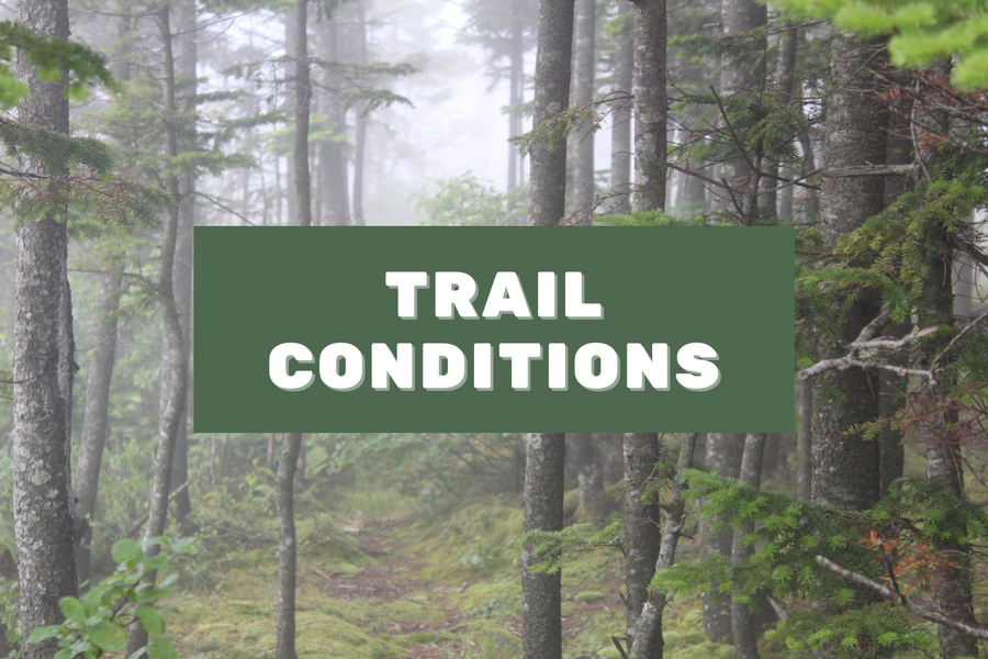
Before You Go
Check current trail conditions. Weather, closures, and seasonal restrictions change fast in the High Peaks.

Shop PureADK
High Peaks Collection
Framed prints, tees, hats & more repping the 46 — designed and printed in the Adirondacks.
Shop the Collection →Gear & Resources
As an Amazon Associate, Pure Adirondacks earns from qualifying purchases.
Trail Guide
ADK High Peaks Trails
The definitive guidebook for the 46 →

Paper Map
High Peaks Trail Map
Waterproof topo — essential for the range →
Listen
The 46 of 46 Podcast
One hiker's documentary journey through all 46 High Peaks. Apple, Spotify, Stitcher.
🌲 Support ADK
The Adirondack Mountain Club maintains many of the trails in the High Peaks, runs the Adirondak Loj, and leads stewardship across the range. If you hike here often, membership pays for itself quickly through Loj parking and Hungry Hiker discounts — and it funds the trail work that keeps these peaks hikeable.
Frequently Asked Questions
Is Wright Peak a good hike for families?
Yes — Wright is shorter than most 46ers (7 miles round-trip) and has a well-maintained trail all the way to treeline. Kids who've done a few hikes with solid elevation gain can handle it. The main challenge is the exposed summit; make sure younger hikers are comfortable with wind and open views before you go. An early morning start helps beat crowds and gives you time to linger on top.
How long does the Wright Peak hike take?
Most hikers take 4–5 hours round-trip from the Loj, depending on pace and summit time. If you're pairing Wright with Algonquin, plan 7–8 hours total. Strong hikers doing both peaks can finish in 6–7 hours; slower parties should budget longer.
When is the best time to hike Wright Peak?
Late June through September is ideal. The summit is fully exposed above treeline, so it's vulnerable to sudden weather shifts and cold winds. Spring hiking is possible, but the upper trail can be icy into May. Avoid summiting during mud season (mid-April through Memorial Day) to protect fragile alpine vegetation.
Can I hike Wright and Algonquin on the same day?
Absolutely — this is the most common way to do Wright. The Wright junction sits on the Algonquin route at 3.1 miles. Most hikers skip Wright on the way up, summit Algonquin, descend back to the junction, and then tag Wright on the way down. This two-peak day adds only about 0.8 miles and is well worth it.
Is there water on the Wright Peak trail?
There are small brooks and water sources along the lower portions of the trail, but once you break treeline there's none. Carry at least 2 liters, especially in summer. The alpine zone has no shelter or water, so bring everything you'll need for the summit and descent.