


Dial & Nippletop Loop

On a crisp and clear fall day, Evan and I got an early start out of the St. Hubert’s parking lot. Our destinations for the day: Nippletop and Dial. We decided to do the loop counter-clockwise, ascending through Elk Pass to summit Nippletop first, followed by a gradual descent down to Dial. The total mileage for the hike, including the walk through the Ausable Club/Lake Road, was around 14.5 miles.

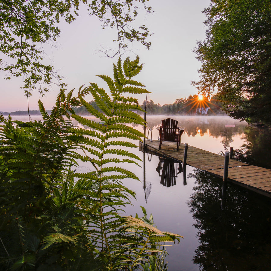
After walking up the Lake Road for a while (a nice warm-up!), we took one of the side paths off of the road to meet up with the Gill Brook Trail and head toward Elk Pass. Along the Gill Brook Trail we passed several campsites that were tucked nicely off the trail; good to know for any future endeavors. The trail maintained a steady incline and at around 5.4 miles into the hike, we reached Elk Pass – a col between two peaks – where some little ponds had formed surrounded by the unique mosses and pretty sub-alpine plants that are found in the Adirondacks. This spot was beautiful, silent, and peaceful. There were some more campsites marked out here that looked very pleasant.

Upon hiking beyond Elk Pass, the ascent began to steepen and we encountered some snow on the ground. There was a little bit of ice on the trail, but we managed to make it through without any bruised bums. We did have our microspikes with us just in case we needed them, but we never actually pulled them out. A mile from Elk Pass, and 0.2 miles from the top of Nippletop, the trail forks, with Dial to the left and Nippletop to the right. Following the trail to the right, we continued along to a false summit, down a saddle, and then finally to Nippletop’s summit.

The summit, while small, offers incredible views of the Colvin Range and the Great Range. There are several spots for people to comfortably hang out and enjoy the scenery. At 4,620 ft, Nippletop is number 13 of the 46 High Peaks. We grabbed some snacks and chatted with a few people on Nippletop, exchanging stories and adventures in the way that people sharing a common bond often do.

After about an hour, we decided to move on to Dial, our second peak for the day. The 1.9 mile trek over to Dial follows a ridge and is mostly downhill, with a short incline to reach the actual summit. At 4,020 ft, Dial is the 41st highest peak in the Adirondacks. This summit, like Nippletop, is pretty small with a large rock that provides a spectacular overlook of the great range.

After spending a little time at the summit, we continued over Dial following the trail toward the Bear Den Mountain (which we somehow missed) on then on to the flank of Noonmark, an underrated viewpoint. This area is mostly bare rock surrounded by a very young forest still littered with charred wood, evidence of the forest fire that took place at this spot back in 1999. This is an incredible place for getting views of the entire Great Range. The hike out from this point was all downhill.

From the charred view point we were joined by a couple from Pennsylvania that we had chatted with previously on Nippletop. The rest of the trip was a very pleasant descent. Being able to share stories on the way back to St. Hubert’s made the time pass quickly and any pains from the constant downhill were put on the backburner. Reaching the Lake Road was a relief to our feet and knees and the remaining walk back to the car was a nice stroll.