


Mount Marcy — The Adirondacks' High Point

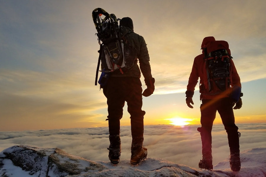
At 5,344 feet, Mount Marcy is the highest of the 46 High Peaks — and one of the most rewarding. The summit views stretch endlessly in every direction, and compared to many of its neighbors, the route from the Adirondack Loj is more approachable than its reputation might suggest. That said, it’s no walk in the park — nearly 15 miles round-trip with over 3,000 feet of climbing demands solid preparation. In winter, skiers and snowshoers make the journey too, though the mountain earns its difficulty in spades when the snow flies.
Getting There: Adirondack Loj Route
The most popular — and shortest — approach begins at the Adirondack Loj at Heart Lake. Here’s how the miles break down:
0 – 2.3 mi
Loj to Marcy Dam
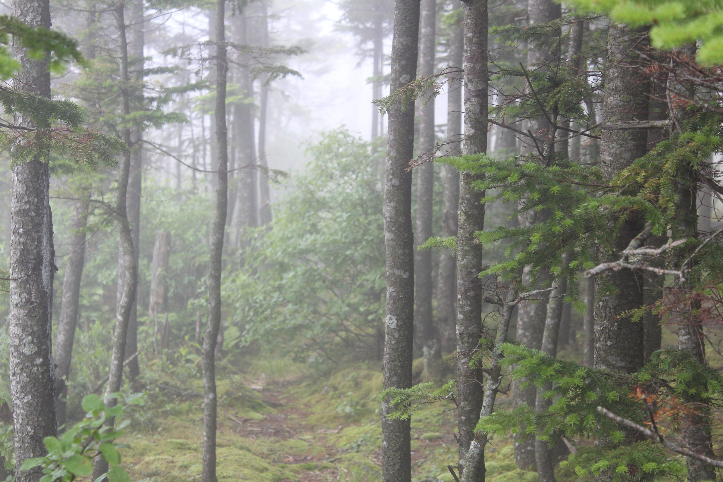
The trail starts easy — rolling and gradual — making this first stretch a great turnaround option for younger or less experienced hikers. Marcy Dam itself is worth the trip alone: a scenic spot to stop, snack, and soak it in. Note that the bridge washed out in 2011, so you’ll cross the stream just before the dam. Past the dam, look for the trail register where routes to several peaks branch off.
2.3 – 3.2 mi
Marcy Dam to the Phelps Junction
Continue past the register, through some lean-tos and designated campsites, and reach the Avalanche Pass trailhead in about 100 yards. Turn left and follow the trail along Phelps Brook for 0.8 miles until you hit the junction for Phelps Mountain. Bear right here — you’re staying on Marcy.
3.2 – 5.0 mi
Climbing Toward Indian Falls
At 3.6 miles the trail kicks up steeply for about half a mile, then levels for a stretch before opening up to a height of land with your first real look at Marcy — just before Indian Falls. It’s a natural place to catch your breath and feel the summit pull you forward.
5.0 – 7.4 mi
Indian Falls to the Summit
After Indian Falls, bear left at the next junction and follow a gradually rising trail for just under two miles. At 6.2 miles you’ll reach the Keene Valley junction — stay right. From there, it’s 0.8 miles to the rocky open cone of Marcy’s summit, with the final 0.4 miles crossing exposed rock to the true high point.
Other Ways Up
Feeling ambitious? Consider the Gray–Skylight–Marcy loop — a longer, wilder day that bags three peaks and ends on top of New York. We break it down in detail in this post →
Directions to the Trailhead
📍 Google Maps // From Lake Placid, take Route 73 towards Keene, turning right onto Adirondack Loj Road and following it to the end. A toll booth at the entrance collects the parking fee.
Frequently Asked Questions
How long does it take to hike Mt. Marcy?
Most hikers complete the Adirondack Loj route in 8–10 hours round-trip, depending on pace and stops. Plan for a full day.
How hard is the Mt. Marcy hike?
It's considered moderate-to-strenuous. The distance (14.8 miles) and elevation gain (3,166 ft) make it demanding, but the trail is well-marked and doesn't require technical climbing.
When is the best time to hike Mt. Marcy?
Late June through September offers the most reliable conditions. Avoid early spring when trails are muddy and snow lingers on the summit. Winter hiking is possible but significantly more challenging.
Is a permit required to hike Mt. Marcy?
No permit is required, but there is a parking fee at the Adirondack Loj. Arrive early on weekends — the lot fills up fast.
Can beginners hike Mt. Marcy?
It's a stretch for true beginners given the mileage, but fit hikers with some trail experience can do it with proper preparation and an early start.