#15 Mount Redfield

One of the trailless 46ers, Redfield was named by Verplanck Colvin after Professor William Redfield, a meteorologist who organized the first expedition up Marcy. You may even thank Redfield for the “High Peaks” moniker, since he was the first to describe Marcy as the “High Peak of the Essex”. Often climbed in conjunction with Cliff, another trailless high peak, Redfield is somewhat remote, but when you emerge atop the summit, the view of nearby mountains in the Marcy range leave you feeling a little less removed. Since the trip up Redfield (and Cliff) has quite high mileage, you’ll want to make sure you get an early start and/or hike the mountains in the summer to maximize the amount of daylight you’ll have while on the trail.
Trail Stats:
Distance: 19.4 miles round trip
Elevation: 4,606 ft
Ascent: 3,225 ft
As it makes sense to hike Cliff and Redfield together, we are going to describe the hike here including both mountains. We are also going to describe the hike as a loop, with climbing Cliff first, although it is equally possible to do the loop in the opposite direction. The most straightforward way to hike Cliff and Redfield is to begin hiking at Adirondack Loj and follow the trail to Avalanche Pass via Marcy Dam. (You can find directions for this hike in our description of Colden) – follow these directions until you reach the Avalanche Lean-to) Following signs for Avalanche Lake, continue through Avalanche Pass until you come out to Avalanche Lake.
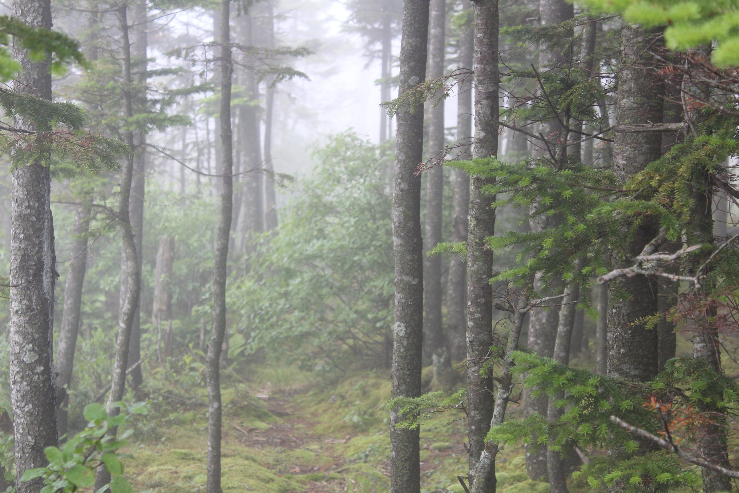
The trail will take you along the shore of Avalanche Lake, then on to Lake Colden. Continue on the trail past Lake Colden until you reach the intersection with the red trail – the Marcy Trail at the end of the Lake. Here, you’ll take the Marcy Trail as it crosses over the Opalescent River on a suspension bridge. Keep in mind that while this trail is called the Marcy Trail, it is not part of the route we described in our description of the hike up Marcy. Continue following the trail for 1.8 miles from the intersection of the Colden and Marcy trails. At this point, you will see a cairn marking the unmaintained trail to Redfield and Cliff leading off to your right. Continue on the unmarked trail for only a few minutes until you see another cairn marking the turnoff for Cliff – follow this turnoff up Cliff—the trail will be a somewhat challenging 0.8 miles to the summit, with plenty of muddy sections and rock scrambling.
You should also keep in mind that there are sections of this trail that may be challenging for dogs. When you return back on the unmarked trail from Cliff, you will take a right to head up Redfield. The trail up Redfield follows a brook and there are frequent waterfalls and points to pause and take in the view that is slowly opening up behind you. The trail up Redfield is a little bit longer, but a little less technical than the one up Cliff. Plus, atop Redfield you’ll have rewarding views of Skylight, Marcy, Gray, and Algonquin – to name a few. After enjoying the view on Redfield and following the trail back down to the intersection with the Marcy Trail, you have two options – you can either follow the trail to the left and retrace your steps, or take a right and make the hike a loop. If you follow the Marcy trail to the right (now marked by yellow markers), you will hike until you reach the intersection on your right for the trail that heads up Skylight and Marcy via Lake Tear of the Clouds.
Continue straight along the trail as it rolls up towards Lake Arnold. At Lake Arnold, you will continue on, bearing left at the intersection with the Indian Falls trail. From Lake Arnold, you will lose 1,200 feet in elevation over 1.5 miles by the time you reach the Avalanche Pass trail. At the intersection take a right (left will take you back the way you started on the Avalanche Pass trail to Avalanche Lake), and begin retracing your steps along this trail to Marcy Dam. You will continue to retrace your steps from Marcy Dam back to Adirondack Loj, likely ending the route with tired legs after nearly 20 miles of hiking.
Directions to Adirondack Loj:
From Lake Placid, take route 73 towards Keene, turning right onto Adirondack Loj Road, which you will follow to the end. There will be a tollbooth at the entrance where you will have to pay a $10 parking fee.


