









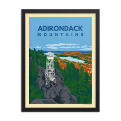


Vanderwhacker Mountain

- Distance5.8 miRound trip
- Summit3,386 ftElevation
- Ascent1,700 ftTotal gain
Definitely one of the best-named mountains in the 'Dacks, Vanderwhacker is said to be named after an early settler of the area, though the spelling may have drifted over time. With an open fire tower and a strenuous but quick climb, it's a good summer hike if you're looking to avoid the crowds closer to Keene and Lake Placid.
The trail
In the first mile or so, you'll cross several small creeks and hike around a marshy area. After the marsh the trail splits. A snowmobile trail veers left and the hiking path bears right. Continue right as the trail rolls gradually past two observer cabins, then climbs steeply for another mile before becoming more moderate not long before the summit. Climb the tower for the greatest view, with the High Peaks dominating the skyline to the north.
The fire tower
- Difficulty
- Moderate
- The tower
- Open to climb
- Access road
- 2.6 rough miles, so drive slowly in a low-clearance car
- Views
- The High Peaks fill the skyline to the north
Trailhead and map
From the Northway (I-87), take Exit 29 toward Newcomb. Turn left onto Blue Ridge Road and follow it for almost 19 miles to Route 28N. Turn left on 28N and go a little over 5 miles to the Boreas River and the DEC sign marking the road to the trailhead on the right. The 2.6-mile road in is a little rough, so drive slowly in a lower-clearance car.
Trail resources
- Conditions
- Conditions change fast. Check current trail conditions before heading out.
- Reading
- Hiking Fire Lookouts: New York, a guide to 85 fire tower hikes across the state. Affiliate link: as an Amazon Associate, Pure Adirondacks earns from qualifying purchases.
From the PureADK shop


