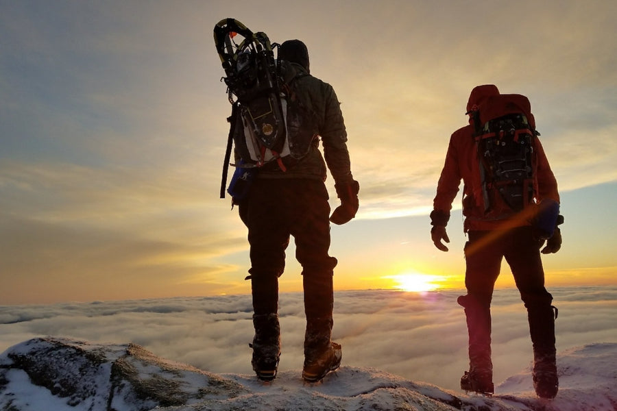
#5 Whiteface Mountain
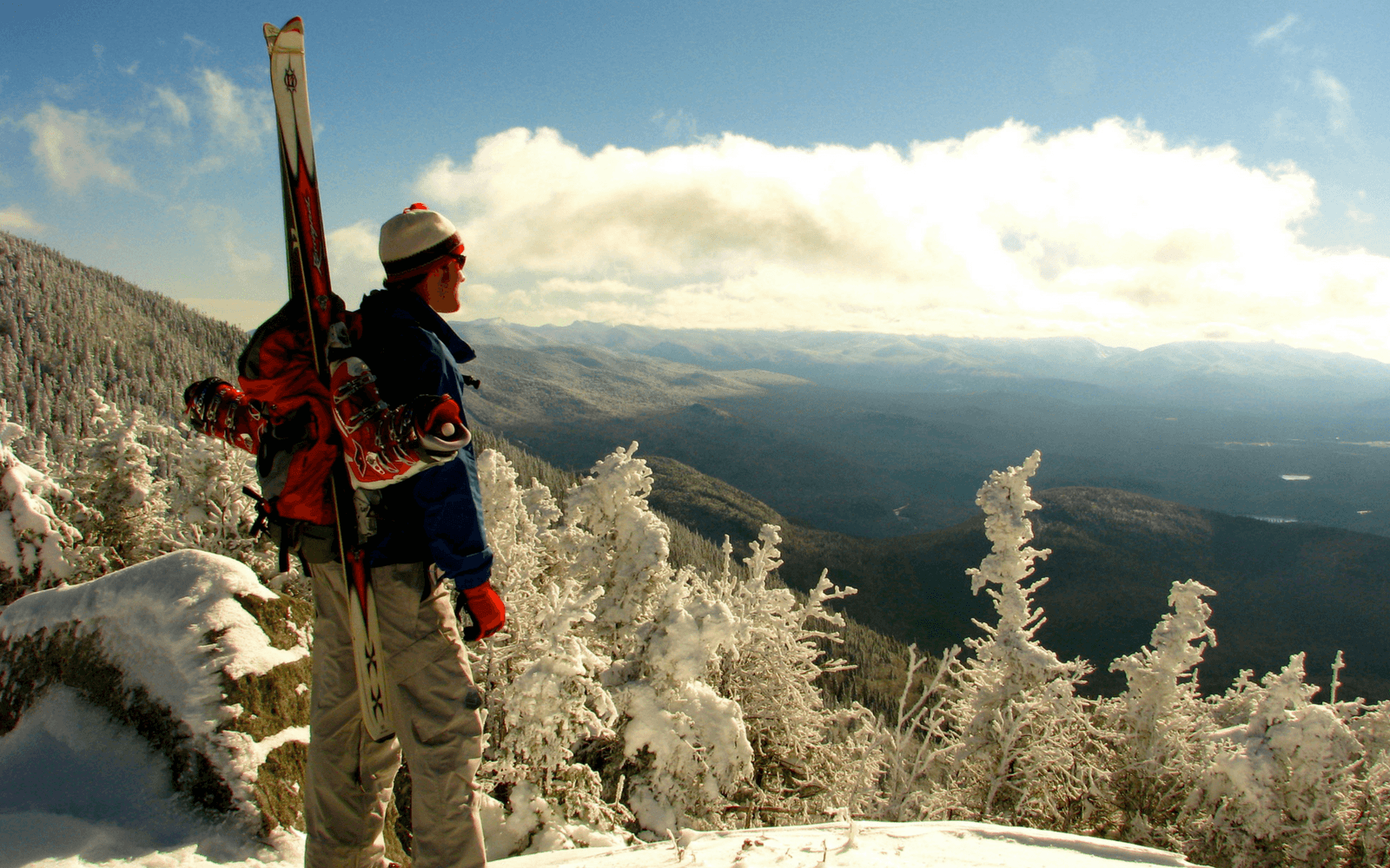
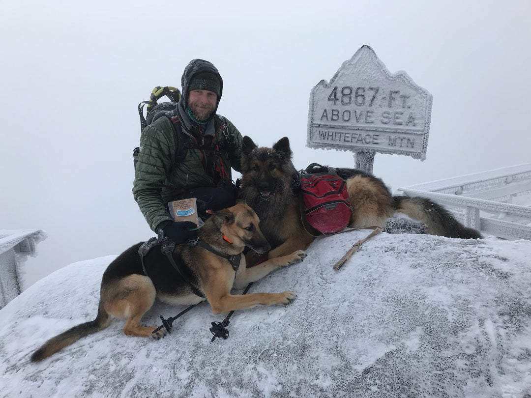
Perhaps one of the most iconic mountains in the Adirondacks, there are many ways to summit Whiteface, which is ranked #5 in elevation among the 46 Adirondack High Peaks. In the summer months, you can drive up the toll road and in the winter you can ski up it. The mountain is home to Olympic alpine ski trails and the “Largest Vertical in the East”. If you’re an avid skier, we recommend skiing up the toll road in the winter or taking the hiking trail in the summer, particularly if you’re used to a snow-covered view.
Trail Stats:
| Distance | 11.4 miles round-trip |
| Elevation | 4,867 ft |
| Ascent | 3,620 ft |
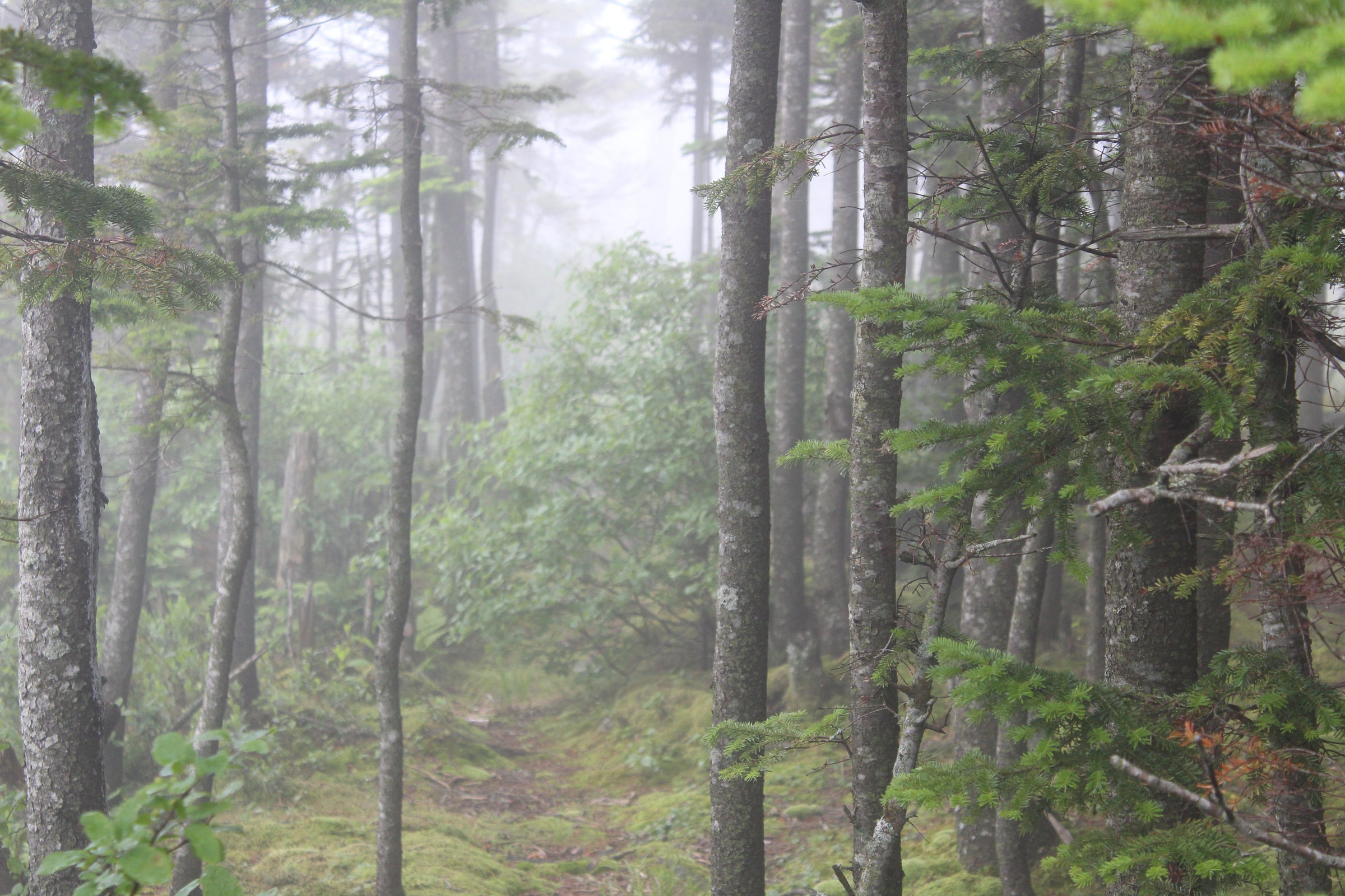
There are a couple of hiking trails to the top of Whiteface, but we are going to discuss the Wilmington Trail here. From the parking area, you will follow a bridge over a brook and then continue gradually through a hardwood forest for 1.4 miles until you reach a ridge, at which point the trail will start climbing somewhat steeply for 0.8 miles to the summit of Marble Mountain. Continuing briefly on level ground, soon the trail climbs upwards for a quarter of a mile, at which point there will be an opening with a good view of Esther Mountain, Whiteface’s smaller (and only) 46er neighbor. The trail will then continue up for another mile until you come to a view of Whiteface, at which point the trail descends briefly to the intersection with the trail leading right to Esther. The trail continues downward another half mile before briefly leveling off and then beginning to climb up again. At this point, the trail continues steeply for another mile, cutting close to the Memorial Highway as it breaks above the tree line at 4.9 miles. The final 0.3 miles to the top provides beautiful views of Whiteface’s picturesque slides as you continue across the rock face to the castle at the top of the mountain.
Another popular alternative is to hike the mountain via Whiteface Landing and Connery Pond, which is a mile longer and doesn’t have easy access to Esther, but is beautiful and enjoyable in its own right.
Directions to Wilmington Trail:
If you are heading to Wilmington from Lake Placid on Route 86, follow it until the four corners with Bonnieview Road ahead and Whiteface Mountain Road on the left. Turn left and follow the road for 0.6 miles to a Reservoir Road on your left. Take that left and you will see a parking area 0.2 miles ahead on the right.
Directions to Atmospheric Science Research Center Trailhead:
A shorter option than the Wilmington Trail from Reservoir Rd, this makes your hiking journey about 7.8 miles round trip when starting from the Atmospheric Science Research Center.
Directions to Connery Pond Trailhead:
This trailhead is located just a few minutes outside of Lake Placid. This will be the longest of the route options at about 12 miles round-trip. Depending on the time of year, the gate may be closed to the parking area on Connery Pond Road. If that's the case, there is a parking area available right next to this road off of Route 86.
External Links
Little Super Market (Good stop for food, drinks, gas, & other essentials)
Whitebrook Dairy Bar (Good stop for ice cream following a summer hike)


