Cooper Kiln Pond Trail
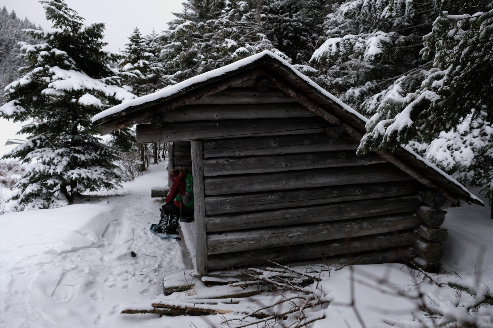
If you’re trying to escape the crowds flocking to the more frequented Adirondack hikes, Cooper Kiln is a wonderful trail to explore. Outside of Wilmington, NY, it meanders easily through the valley between two small mountains and ends at a beautiful pond with a lean-to and space to tent camp at the pond. It’s a great ski trail in the winter (and when the pond is frozen you can ski right across it!), as well as a wonderful trek in the summer – just don’t forget the bug spray!
Trail Stats
Distance: 5.4 miles round-trip on the shorter trail, or 6.4 miles round-trip on the longer one
Elevation: 3,005 ft
Ascent: 615 ft via the shorter route, or 1,670 ft via the longer one
There are two trails to Cooper Kiln Pond, and both provide quite different experiences. The trail you choose to take will depend on where you want to start from, how long you plan to hike, and how much elevation change you’d like to see as you hike (or ski) up to the pond. Many people enjoy skiing the longer route, because it allows for a longer ski down on the way out. There is also the option to shuttle a car and make the trip a point-to-point, that way you’ll get the best of both worlds!
Option #1 (Shorter)
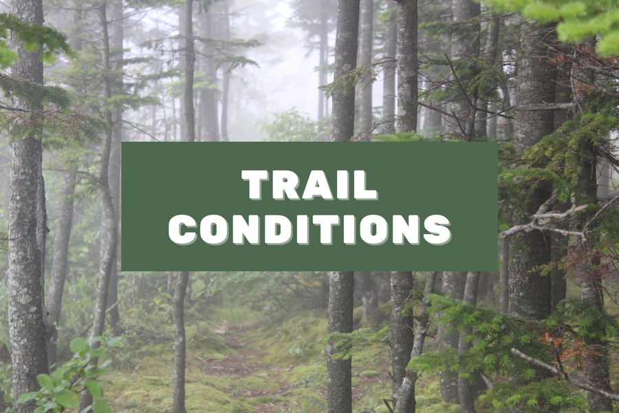
The shorter (and primary) trail in to Cooper Kiln Pond begins off of Franklin Falls Road, just past the intersection with the Whiteface Toll Road. It begins from the trailhead and sees little elevation change at the beginning of the hike. Before too long, however, the trail begins to tick upward, and the path is often wet and muddy for this portion. All of the (somewhat brief) elevation gain will occur during this section, as the trail rolls upwards to the height of land. Upon reaching the top of this narrow valley pass, the trail will continue on, eventually climbing steadily down towards Cooper Kiln Pond. Keep your eyes peeled for beaver dams and be aware that beaver activity can lead to parts of the trail being wetter and somewhat flooded during certain parts of the year. Follow this trail along the edge of the pond until you reach the lean-to and camping area.
Directions to the Primary Trailhead
From where route 86 meets the four corners in Wilmington, turn left onto the Whiteface Memorial Highway. Take the highway all the way to the Y, where you can see the tollbooth ahead to your left. Turning right onto Franklin Falls Road, follow this road 0.6 miles to the trailhead on the right.
Option #2 (Longer)
The secondary (and longer) trail to Cooper Kiln Pond begins on Bonnieview Road and starts much lower (and thus has significantly more elevation to gain!) than the primary trail that begins higher up from Franklin Falls Rd. At the Bonnieview trailhead, you will begin hiking along a gradual trail. Keep in mind that this is a state trail and also a snowmobile trail, which is helpful knowledge in the winter since it is possible that skiers could encounter snowmobilers on the path. The trail will cross over a small brook and begin to head steadily upwards, but not too steeply. When you reach the highest point of land (this may not be obvious to you when hiking since there is no peak or view), the trail will make a sharp left turn and a fainter, less-traveled trail will point straight ahead. The trail that goes straight heads to the Cooper Kiln Slide on Wilmington Peak. Continue to follow the main trail to the left, and follow it along gradually both up and down until the trail climbs steeply through a hardwood forest. Shortly after this section the trail will level out again and lead you directly to the lean-to and camping area. If you follow the trail from the lean-to along the shore, this will take you back along the primary trail.
Directions to the Secondary trailhead
From where route 86 meets the four corners in Wilmington, go straight onto Bonnieview Road. Follow Bonnieview for 3.2 miles to the trailhead on your left.
