#46 Couchsachraga Peak

Couchsachraga (pronounced “Kook-sa-cra-ga” and affectionately called “Couchy” by locals) is the lowest of the 46ers (and not actually above 4,000 feet), but don’t let that fool you – it is a trailless peak that is in a remote location, making it challenging despite its low elevation. If you’re looking for a longer trip, many hike Couchy in the same trip as Santanoni and Panther, although it also do-able on its own. Keep in mind that there’s no view from the top – this combined with its remote location make it one of the less popular of the Adirondack 46.
Trail Stats:
Distance: ~17 miles (if including Santanoni and Panther)
Elevation: 3,820 ft
Ascent: 3,140 ft
Couchsachraga, also the Algonquin word for “dismal wilderness”, is certainly hard to get to. Beginning your hike as if you are climbing Panther, you will begin at the Santanoni trailhead with a 1.8-mile walk along a gravel road. Then it will turn somewhat abruptly (so keep your eyes peeled!) to the right onto the trail. The trail will take you another 1.6 miles where you will see a view of some cascades on the left – go another 200 yards and you will see a cairn marking the turn-off to the herd path for Santanoni. Continue on another 0.9 miles, where you will find the cairn marking the herd path up Panther. The path will continue mostly flat past Bradley Pond and then climb steeply up past the pond before tapering to a less steep incline. The trail will then drop briefly to Panther Brook and follow the brook to the top of the mountain ridge.
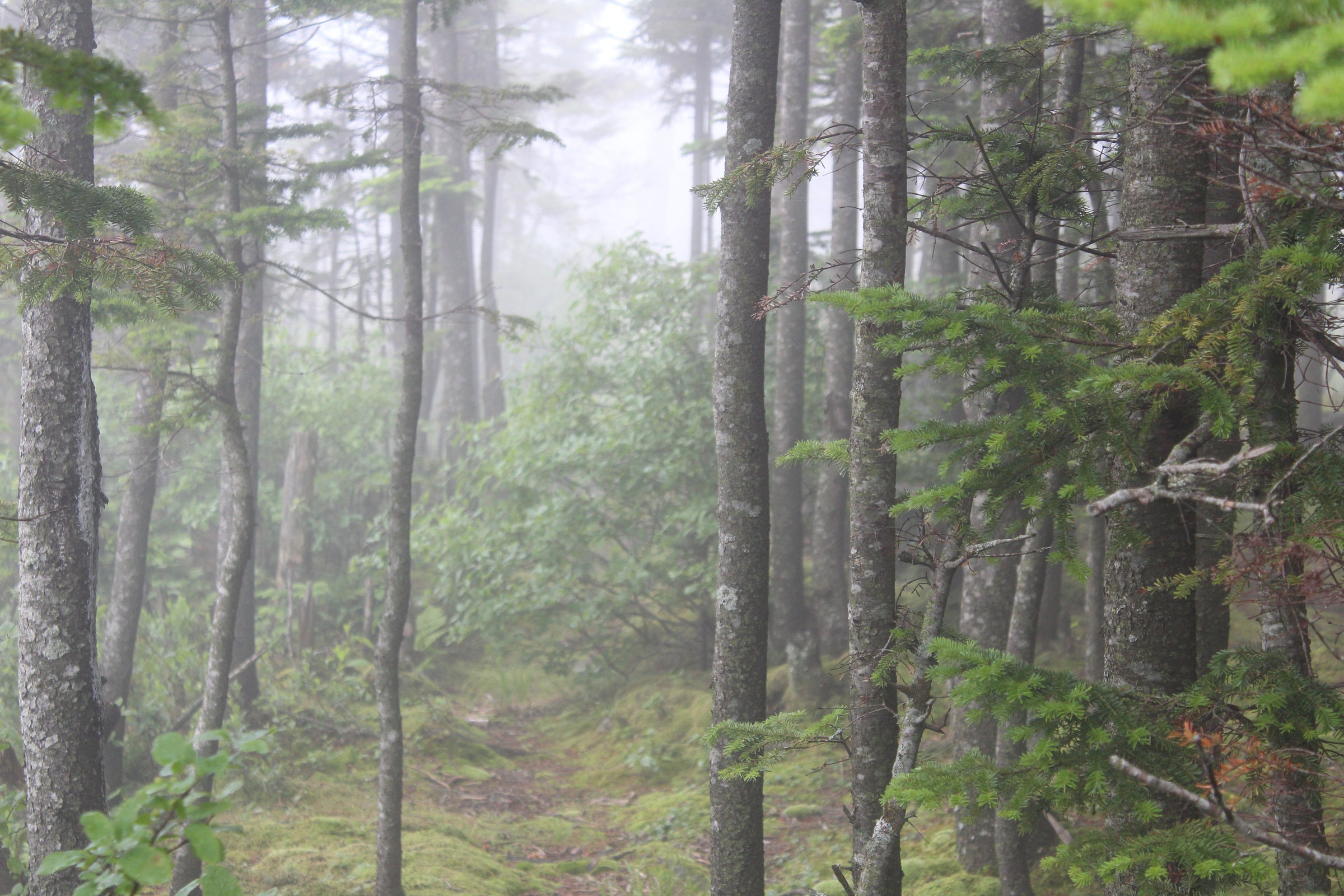
You will reach a junction of paths where the trail to Panther goes to the right and the trail to the left will take you to Santanoni and Couchsachraga. Follow the trail to the left until you reach a T. The trail to the left will lead to Santanoni and you will follow the trail straight ahead to Couchsachraga. The trail to Couchy isn’t too far – it will descend a slight ways to a col (that is often typically muddy) and then head uphill again to the summit. As mentioned earlier, there is no view from the summit of Couchy, just a marker and sign noting the top of the peak in a treed area.
Trailhead Directions:
Starting in Newcomb at the intersection of Interstate 28N and Newcomb Lake Road, follow 28N southeast for 5.2 miles. Turn left on Blue Ridge Road and follow it for 0.3 miles. Take a slight right to stay on Blue Ridge Road and follow it for another 0.9 miles. Here, turn left onto Tahawus Road and follow it for 6.3 miles. Then turn left onto Upper Works Road and follow it for 2 miles. Finally, turn left onto Santanoni Road, where you will find the trailhead fifty feet ahead.


