

A Photographer’s Perspective of The Mount Colden Loop
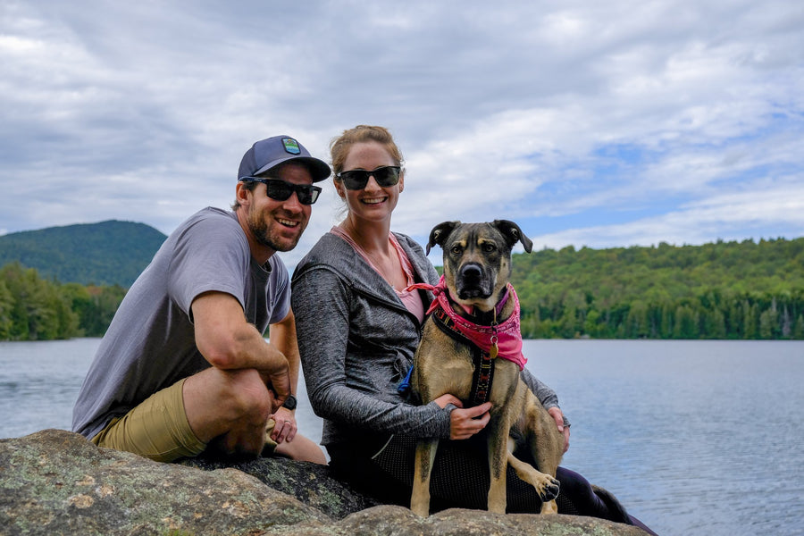
 The story was originally published in LOCALadk Magazine in the Spring 2017 issue. LOCALadk Magazine is all about inspiring people; to climb, to ski, to ride, to think, to create, and to explore. Their readers eat well, live healthy, responsible lifestyles, and enjoy both the in and outdoors of the Adirondack Mountains. Ultimately, their goal is to motivate their readers to interact with the local surroundings, whether it be paddling on a great SUP adventure, red-pointing a favorite climbing route, or enjoying the newest farm-to-fork restaurant in town. They do this by celebrating, documenting and investigating local Adirondack Mountain lifestyle, and delivering fresh written and photographic content with passion. Pick up the latest copy in a local Adirondack business or read each issue online.
“At the Heart of the Adirondacks High Peaks” by Manuel Palacios
Mount Colden, or simply Colden, at 4,715 feet is the eleventh highest peak in the Adirondacks. Colden, with its slides on the northwest face of the mountain, easily observable from Lake Placid and The Plains of Abrahams, is one the most iconic and recognizable views of the park.
When it comes to Colden it’s not just about the destination, but the journey. There are a few ways to climb Colden, including the strenuous and somewhat technical Trap Dyke ascent and the scenic northeast approach from Lake Arnold. As a photographer, I am always in search of a new perspective, but no matter how many times I hike the Colden Loop, I always find something new: a different light, or a different composition. The 14 plus mile trek to Colden is simply full of landscape gems along the way.

I spend, or should I say invest, a lot of time scouting the park, looking for the next shot. I walk away happy from a hike when I find one special location that resonates with me and gets me excited. The way that I work is by tracking my route with the GPS and as I shoot. When I find a “must comeback” location, I drop a GPS waypoint. The first time I hiked the Colden Loop I dropped waypoints along the way like confetti.
The hike starts at the Adirondack Loj and from there the trail leads to Marcy Dam and continues south through the Avalanche Pass Trail for over a mile. Soon after, Avalanche Pass Trail bifurcates and you can decide to hike the loop anti, or clockwise.

The first time I hiked the loop I was lucky to be with my friend, photographer, and mountaineer Chris Lang. Chris has so much experience in the High Peaks that he recommended we do the loop clockwise, since the approach from the north side of Colden is more gradual than the south side approach. I agreed and turned left towards Lake Arnold. The trail up Lake Arnold follows a beautiful brook all the way to the Lake. Lake Arnold is a small lake surrounded by alpine vegetation. It is a very picturesque location and one that I know I will be returning to repeatedly in the years to come. Lake Arnold is also a great place to camp if you are planning on summiting Colden for sunrise or to shoot the night sky.

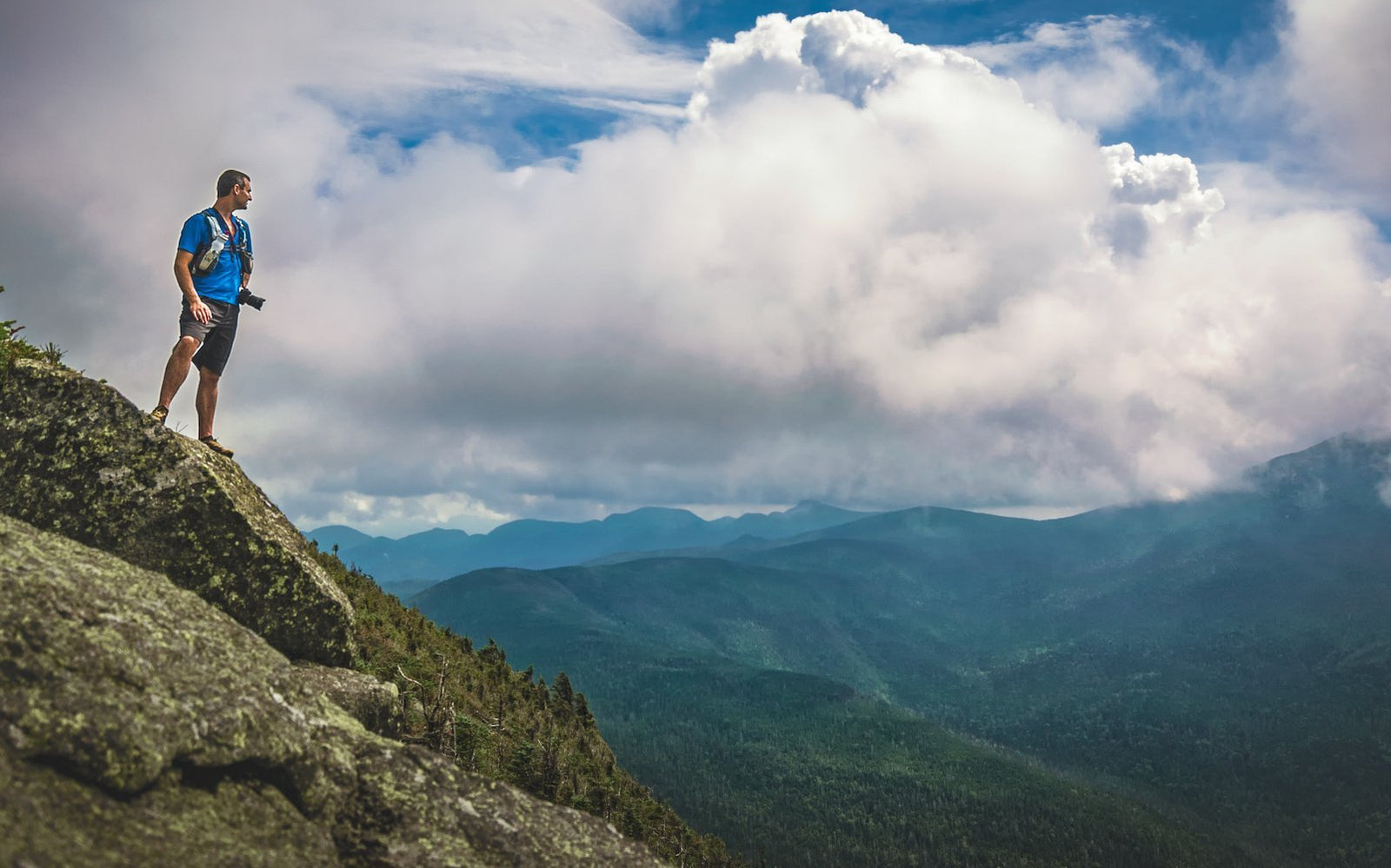
From Lake Arnold, the trek gets steeper, but the rewards are breathtaking once you make it to Colden’s false summit. This is hands down one of my favorite photography spots in the Adirondacks. The false summit has clear views of Mount Marcy on the east, Colden in the south, and, looking west, a jaw-dropping perspective of the McIntyre Range. What makes the false submit special is that it also offers beautiful foregrounds, alpine vegetation, including bunchberries that bloom around May, along with some boulders to work on different compositions.
After passing the false summit, the climb continues for 0.3 miles towards Colden’s “actual” summit. Colden has an open summit with 3600 views of the High Peaks. In addition to spectacular views of Mount Marcy (east) and the McIntyres (west), Colden also offers views of the Flowed Lands and Lake Colden, looking south.

Continuing the loop, the trail begins to descend over the south face of Colden towards Lake Colden. For the first quarter of a mile, the trail is still above the tree line and you get that “over the ridge” perspective looking down the valley. It is breathtaking. Once you arrive at Lake Colden, the trek continues north (left) towards Avalanche Lake. Avalanche Lake is another iconic photographic spot that I have been visited often over the years. The reflections on Avalanche Lake can be amazing and the light is generally diffused because the lake is in a valley and protected from direct sunlight for most the day. Boulders, decaying timber, and occasionally a DEC boat on the shore are among the subjects that can be photographed.

The trek along the lake begins on the southwest side of the lake and contains ladders, bridges, and massive boulders that make the scrambling challenging. Once you make it on the north side of the lake and are looking south, back onto Avalanche Lake, there is a scene that will make you feel like you just traveled back in time. The tall rocky walls on both sides of the lake along with the snags (dead trees) give an ancient feeling to the scene, reminiscent a little of “Jurassic Park.”

On my first hike on the loop with Chris, we had an incredible “photo-moment” when a storm began to move in over the lake. This added even more drama to the scene. I fell in love with this view of Avalanche Lake, and I have been back several times including at night for astrophotography shoots. At night, the valley is extremely dark and is a perfect spot for taking photographs of the night sky. Moreover, every year there is a moment at the end of summer when the Milky Way aligns at the center of the lake, casting a beautiful reflection of the stars on the lake.

After Avalanche Lake, the trail returns to Avalanche Pass and camp, towards the Adirondack Loj. Even though the hike is far from technically difficult, I wouldn’t recommend this trek to inexperienced hikers because it is a long and challenging hike. The rewards, however, along the way make every inch worth it. This is without a doubt one of my favorite hikes in the ADKs and one that never lets me get home with empty hands or empty memory cards. See you on the trail and happy shooting!
Hike Facts: approx. 14.7miles (including the misery mile) and 3100’ total ascent. Total time between 6-8h.
 MANUEL PALACIOS is a scientist and outdoor photographer of Zone | 3 | Photography based out of Upstate New York in the Mohawk River area. He spends most days and nights wandering around the beauty of the Adirondacks. For Manuel, landscape photography is not just a means to document moments, but a way to artistically interpret and feel landscapes. He loves pushing photography to its technical limits and enjoys teaching others how to get the most from their cameras.