Scarface Mountain

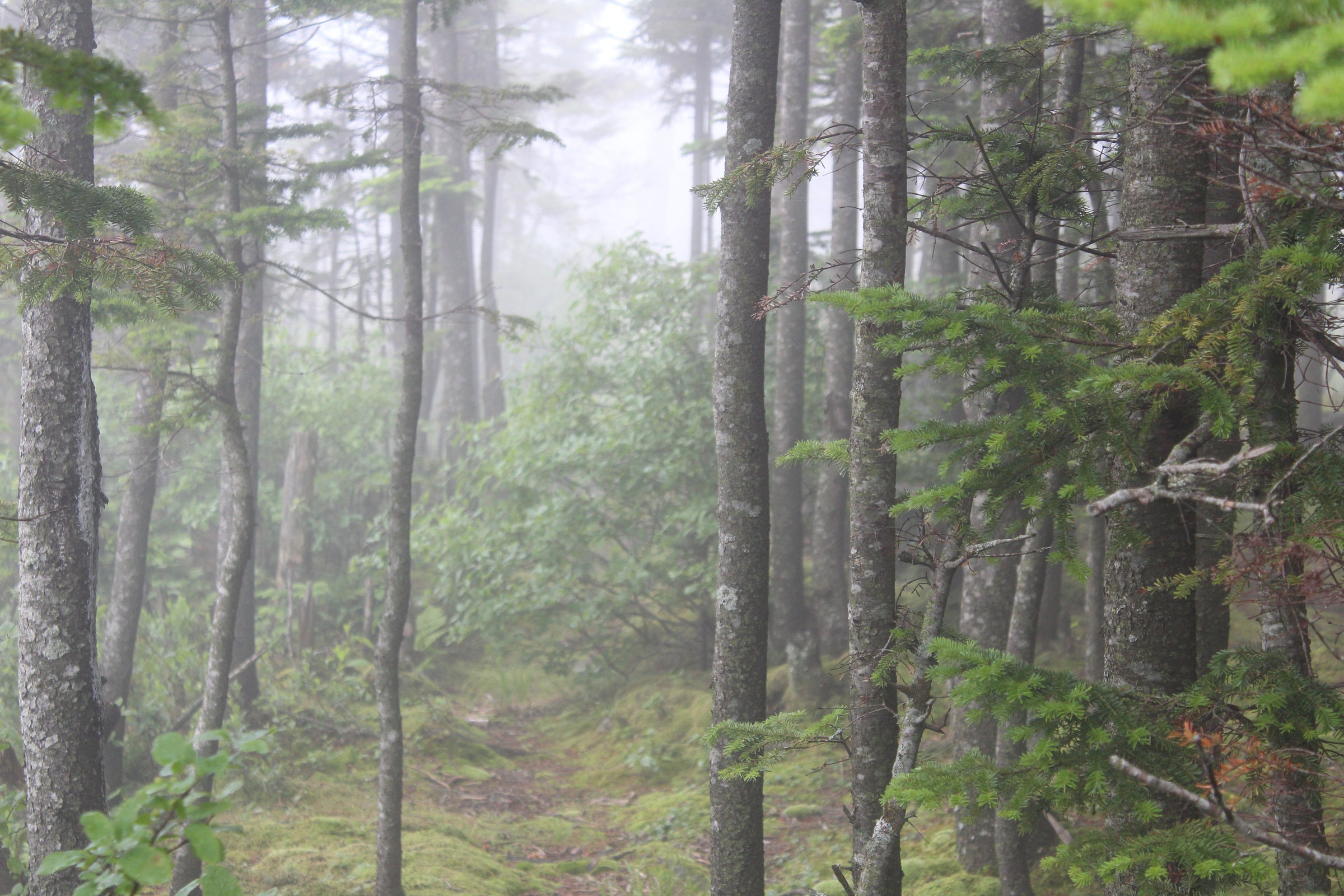
Less popular than the other Saranac 6ers, Scarface is a quiet hike that is nice to explore on days when you’re looking for some solitude. The view may not be quite as stunning as from some of the others, but there are still a couple of nice viewpoints close to the top, and the trail through a slightly wetland habitat provides unique scenery in the earlier parts of the hike.
Trail Stats:
Distance: 7.6 miles round trip (3.8 to the summit)
Elevation: 3,088 ft
Ascent: 1,480 ft
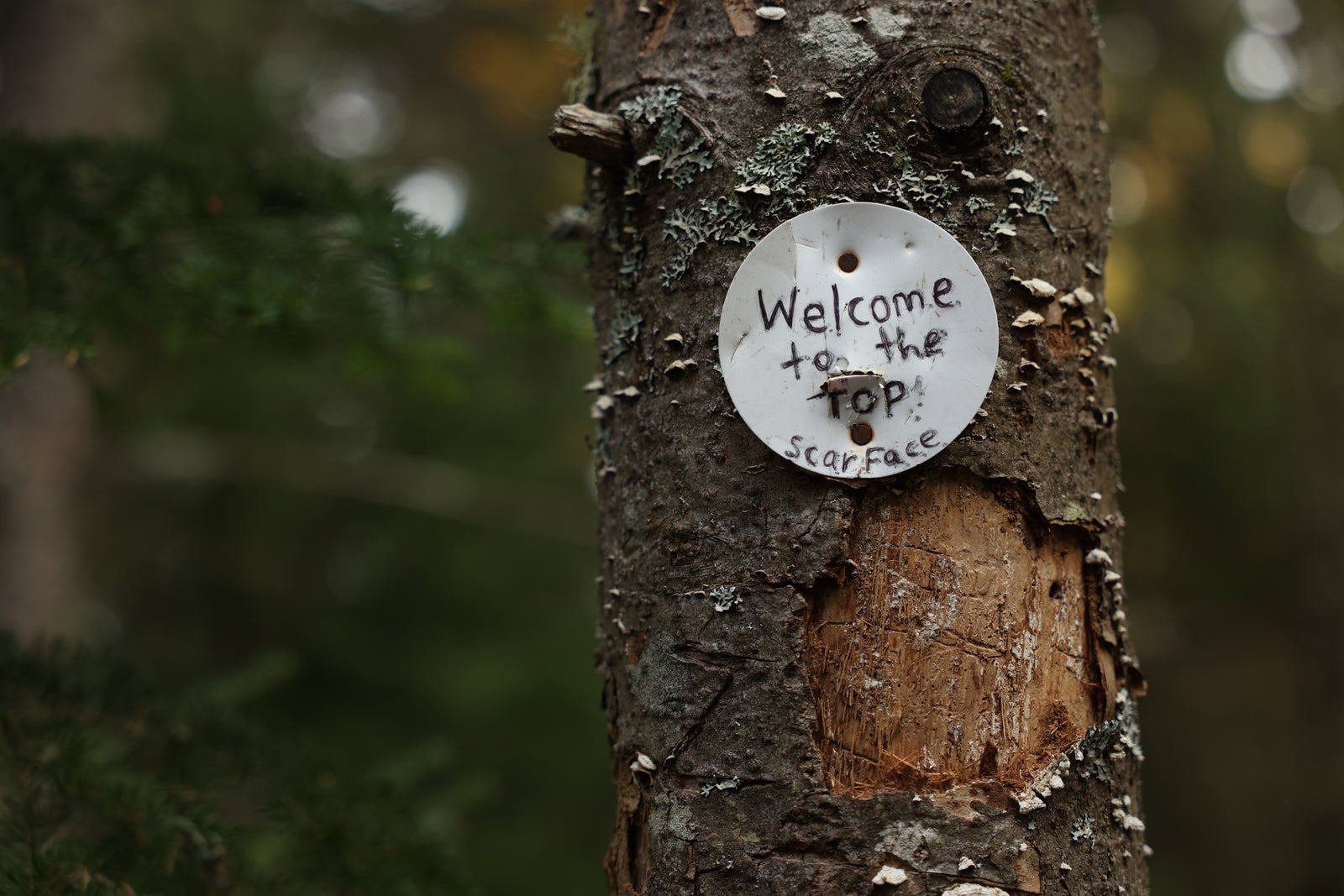
The trail to Scarface Mountain is fairly flat at the beginning, crossing over the railroad tracks and across a good-sized bridge at half a mile. After another quarter of a mile the trail begins to ascend and enters a clearing with a large rock in the center at 1.5 miles where it joins in with an old road for 0.2 miles before veering left away from the road and going along mostly flat for another half mile. After crossing a brook, the trail gets steeper, rolling along in varying degrees of steepness to the top at 3.8 miles. On the way up, around the 3.2 mile mark, there’s a ledge with a good 180-degree view to the west of the Saranac Lakes, Ampersand Mountain, and the Seward and Sawtooth ranges in the southeast. Beyond these lookout points, the trail continues to the wooded summit, where you'll find a trail disk marking the true summit.
Trailhead:
Google Directions // Coming from Saranac Lake, you will follow route 86 into Ray Brook, turning right onto Old Raybrook Rd, across the street from the state police department. Parking for the hiking trail will be on your left just after you’ve turned down Old Raybrook Rd. Coming from Lake Placid, you will follow 86 into Ray Brook, turning left onto Old Raybrook Rd across the street from the state police department. Parking for the hiking trail will be on your left just after you’ve turned down Old Raybrook Rd.


